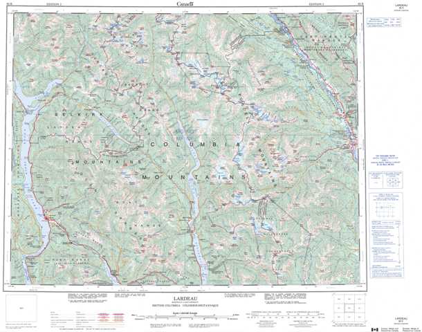
082K Lardeau Topographic Maps
Maps for the Lardeau map sheet 082K at 1:250,000 scale are available in 5 versions:
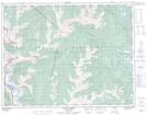
Topographic Map of Lardeau
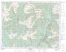
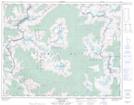
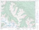
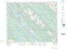
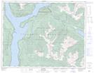
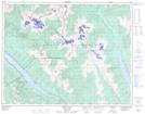
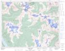
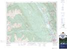
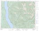
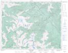
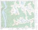
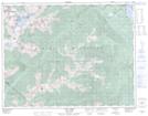
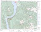
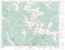
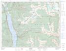
1:50,000 Scale Topos for Lardeau 082K:
 |
 |
 |
 |
 |
 |
 |
 |
 |
 |
 |
 |
 |
 |
 |
 |
082K Related Maps:
082K Lardeau
082K01 Findlay Creek
082K02 Lardeau
082K03 Rosebery
082K04 Nakusp
082K05 St Leon Creek
082K06 Poplar Creek
082K07 Duncan Lake
082K08 Toby Creek
082K09 Radium Hot Springs
082K10 Howser Creek
082K11 Trout Lake
082K12 Beaton
082K13 Camborne
082K14 Westfall River
082K15 Bugaboo Creek
082K16 Spillimacheen
