082L Vernon Topographic Maps
Maps for the Vernon map sheet 082L at 1:250,000 scale are available in 5 versions:
Topographic Map of Vernon
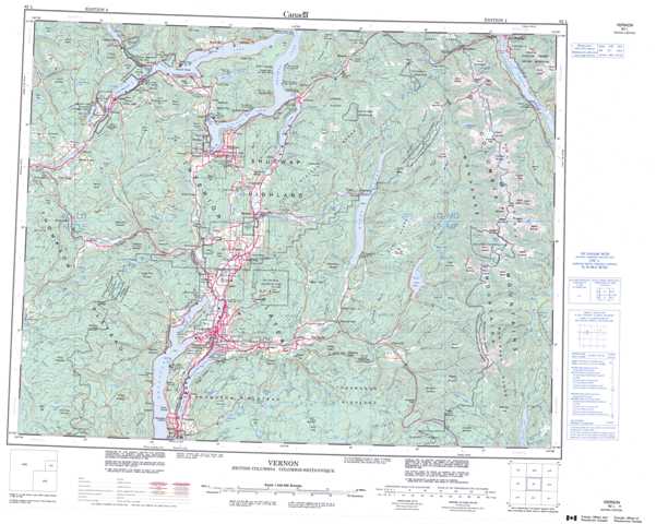
1:50,000 Scale Topos for Vernon 082L:
 |
 |
 |
 |
 |
 |
 |
 |
 |
 |
 |
 |
 |
 |
 |
 |
082L Related Maps:
082L Vernon
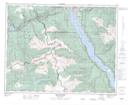
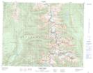
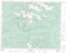
082L01 Eureka Mountain
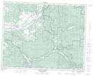
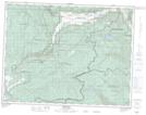
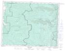
082L02 Creighton Creek
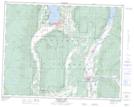
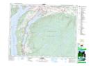
082L03 Oyama
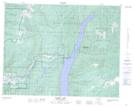
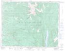
082L04 Shorts Creek
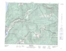
082L05 Westwold
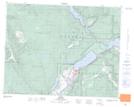
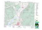
082L06 Vernon
082L07 Shuswap Falls
082L08 Mount Fosthall
082L09 Gates Creek
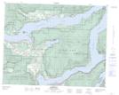
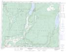
082L10 Mabel Lake
082L11 Salmon Arm
082L12 Monte Creek
082L13 Chase
082L14 Sorrento
082L15 Malakwa
082L16 Revelstoke
082L01 Eureka Mountain
082L02 Creighton Creek
082L03 Oyama
082L04 Shorts Creek
082L05 Westwold
082L06 Vernon
082L07 Shuswap Falls
082L08 Mount Fosthall
082L09 Gates Creek
082L10 Mabel Lake
082L11 Salmon Arm
082L12 Monte Creek
082L13 Chase
082L14 Sorrento
082L15 Malakwa
082L16 Revelstoke
