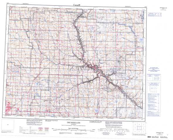
082P Drumheller Topographic Maps
Maps for the Drumheller map sheet 082P at 1:250,000 scale are available in 5 versions:
Topographic Map of Drumheller
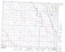
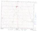
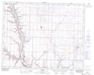
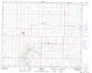
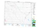
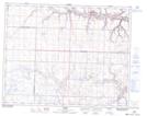
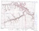
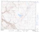
1:50,000 Scale Topos for Drumheller 082P:
 |
 |
 |
 |
 |
 |
 |
 |
 |
 |
 |
 |
 |
 |
 |
 |
082P Related Maps:
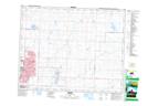
082P Drumheller
082P01 Finnegan
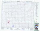
082P02 Hussar
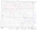
082P03 Strathmore
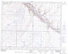
082P04 Dalroy
082P05 Irricana
082P06 Carbon
082P07 Drumheller
082P08 Dorothy
082P09 Craigmyle
082P10 Munson
082P11 Three Hills
082P12 Lonepine Creek
082P13 Torrington
082P14 Trochu
082P15 Rumsey
082P16 Farrell Lake
082P01 Finnegan
082P02 Hussar
082P03 Strathmore
082P04 Dalroy
082P05 Irricana
082P06 Carbon
082P07 Drumheller
082P08 Dorothy
082P09 Craigmyle
082P10 Munson
082P11 Three Hills
082P12 Lonepine Creek
082P13 Torrington
082P14 Trochu
082P15 Rumsey
082P16 Farrell Lake
