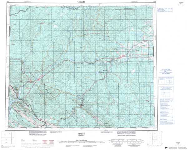
083F Edson Topographic Maps
Maps for the Edson map sheet 083F at 1:250,000 scale are available in 5 versions:
Topographic Map of Edson
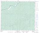
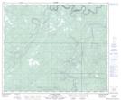
1:50,000 Scale Topos for Edson 083F:
 |
 |
 |
 |
 |
 |
 |
 |
 |
 |
 |
 |
 |
 |
 |
 |
083F Related Maps:
083F Edson
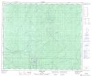
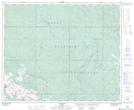
083F01 Raven Creek
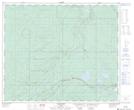
083F02 Foothills
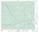
083F03 Cadomin
083F04 Miette
083F05 Entrance
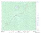
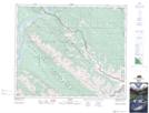
083F06 Pedley
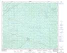
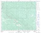
083F07 Erith
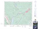
083F08 Moose Creek
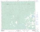
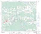
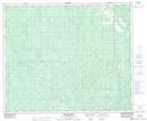
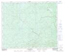
083F09 Edson
083F10 Bickerdike
083F11 Dalehurst
083F12 Gregg Lake
083F13 Hightower Creek
083F14 Wildhay River
083F15 Nosehill Creek
083F16 Shiningbank Lake
083F01 Raven Creek
083F02 Foothills
083F03 Cadomin
083F04 Miette
083F05 Entrance
083F06 Pedley
083F07 Erith
083F08 Moose Creek
083F09 Edson
083F10 Bickerdike
083F11 Dalehurst
083F12 Gregg Lake
083F13 Hightower Creek
083F14 Wildhay River
083F15 Nosehill Creek
083F16 Shiningbank Lake
