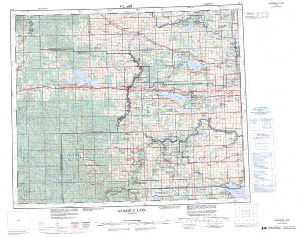
083G Wabamun Lake Topographic Maps
Maps for the Wabamun Lake map sheet 083G at 1:250,000 scale are available in 5 versions:
Topographic Map of Wabamun Lake
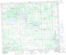
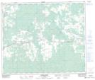
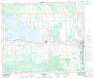
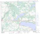
1:50,000 Scale Topos for Wabamun Lake 083G:
 |
 |
 |
 |
 |
 |
 |
 |
 |
 |
 |
 |
 |
 |
 |
 |
083G Related Maps:
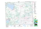
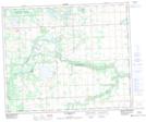
083G Wabamun Lake
083G01 Warburg
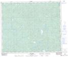
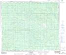
083G02 Drayton Valley
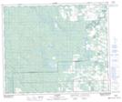
083G03 Blue Rapids
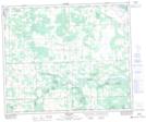
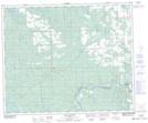
083G04 Zeta Lake
083G05 Eta Lake
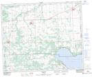
083G06 Easyford
083G07 Tomahawk
083G08 Telfordville
083G09 Onoway
083G10 Isle Lake
083G11 Chip Lake
083G12 Carrot Creek
083G13 Hattonford
083G14 Mayerthorpe
083G15 Sangudo
083G16 Lac La Nonne
083G01 Warburg
083G02 Drayton Valley
083G03 Blue Rapids
083G04 Zeta Lake
083G05 Eta Lake
083G06 Easyford
083G07 Tomahawk
083G08 Telfordville
083G09 Onoway
083G10 Isle Lake
083G11 Chip Lake
083G12 Carrot Creek
083G13 Hattonford
083G14 Mayerthorpe
083G15 Sangudo
083G16 Lac La Nonne
