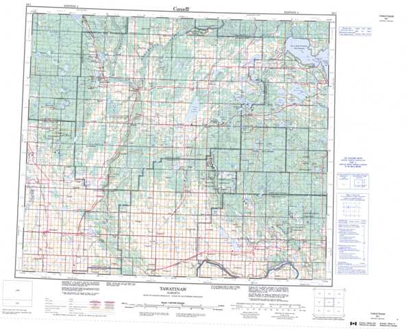
083I Tawatinaw Topographic Maps
Maps for the Tawatinaw map sheet 083I at 1:250,000 scale are available in 5 versions:
Topographic Map of Tawatinaw
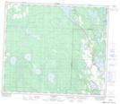
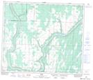
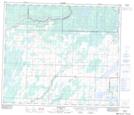
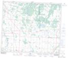
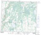
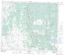
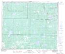
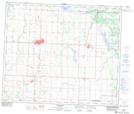
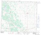
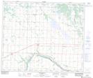
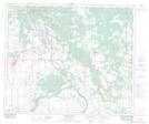
1:50,000 Scale Topos for Tawatinaw 083I:
 |
 |
 |
 |
 |
 |
 |
 |
 |
 |
 |
 |
 |
 |
 |
 |
083I Related Maps:
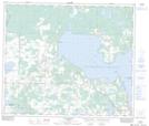
083I Tawatinaw
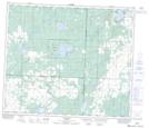
083I01 Smoky Lake
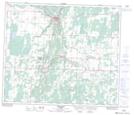
083I02 Waskatenau
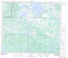
083I03 Thorhild
083I04 Westlock
083I05 Dapp
083I06 Perryvale
083I07 Newbrook
083I08 Victor Lake
083I09 Hylo
083I10 Boyle
083I11 Athabaska
083I12 Coolidge
083I13 Grosmont
083I14 Sawdy
083I15 Grassland
083I16 Plamondon
083I01 Smoky Lake
083I02 Waskatenau
083I03 Thorhild
083I04 Westlock
083I05 Dapp
083I06 Perryvale
083I07 Newbrook
083I08 Victor Lake
083I09 Hylo
083I10 Boyle
083I11 Athabaska
083I12 Coolidge
083I13 Grosmont
083I14 Sawdy
083I15 Grassland
083I16 Plamondon
