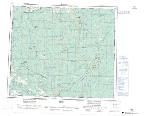
083L Wapiti Topographic Maps
Maps for the Wapiti map sheet 083L at 1:250,000 scale are available in 5 versions:
Topographic Map of Wapiti
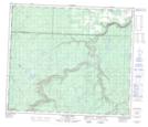
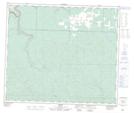
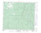
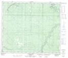
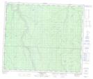
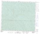
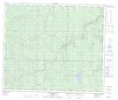
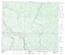
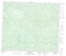
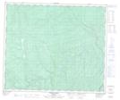
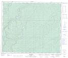
1:50,000 Scale Topos for Wapiti 083L:
 |
 |
 |
 |
 |
 |
 |
 |
 |
 |
 |
 |
 |
 |
 |
 |
083L Related Maps:
083L Wapiti
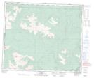
083L01 No Title
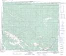
083L02 Bolton Creek
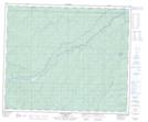
083L03 Copton Creek
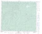
083L04 Kakwa Falls
083L05 Two Lakes
083L06 Chicken Creek
083L07 Prairie Creek
083L08 Amundson
083L09 Latornell
083L10 Cutbank River
083L11 No Title
083L12 Lingrell Lake
083L13 Calahoo Creek
083L14 Wapiti
083L15 Big Mountain Creek
083L16 Lignite Creek
083L01 No Title
083L02 Bolton Creek
083L03 Copton Creek
083L04 Kakwa Falls
083L05 Two Lakes
083L06 Chicken Creek
083L07 Prairie Creek
083L08 Amundson
083L09 Latornell
083L10 Cutbank River
083L11 No Title
083L12 Lingrell Lake
083L13 Calahoo Creek
083L14 Wapiti
083L15 Big Mountain Creek
083L16 Lignite Creek
