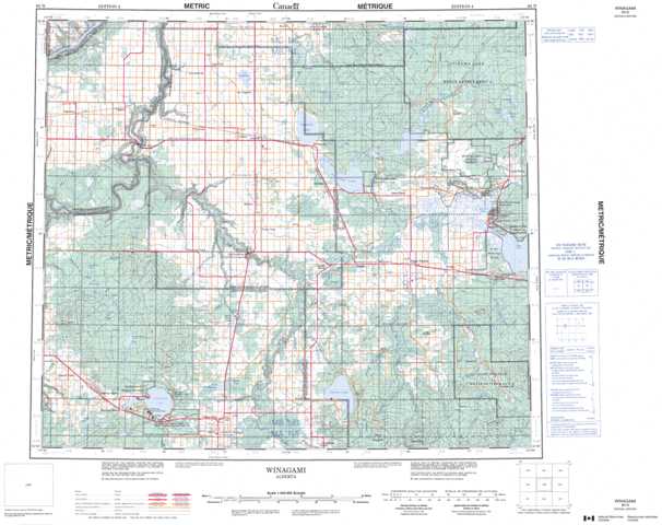
083N Winagami Topographic Maps
Maps for the Winagami map sheet 083N at 1:250,000 scale are available in 5 versions:
Topographic Map of Winagami
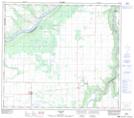
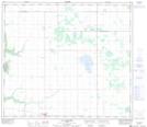
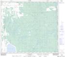
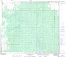
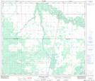
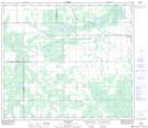
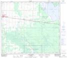
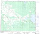
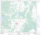
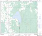
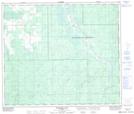
1:50,000 Scale Topos for Winagami 083N:
 |
 |
 |
 |
 |
 |
 |
 |
 |
 |
 |
 |
 |
 |
 |
 |
083N Related Maps:
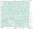
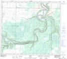
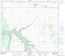
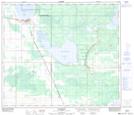
083N Winagami
083N01 Bellrose Lake
083N02 Snipe Lake
083N03 Valleyview
083N04 Sturgeon Heights
083N05 Puskwaskau River
083N06 Whitemud Creek
083N07 Triangle
083N08 High Prairie
083N09 Grouard
083N10 Mclennan
083N11 Donnelly
083N12 Watino
083N13 Tangent
083N14 Lac Magloire
083N15 Frank Lake
083N16 Pentland Lake
083N01 Bellrose Lake
083N02 Snipe Lake
083N03 Valleyview
083N04 Sturgeon Heights
083N05 Puskwaskau River
083N06 Whitemud Creek
083N07 Triangle
083N08 High Prairie
083N09 Grouard
083N10 Mclennan
083N11 Donnelly
083N12 Watino
083N13 Tangent
083N14 Lac Magloire
083N15 Frank Lake
083N16 Pentland Lake
