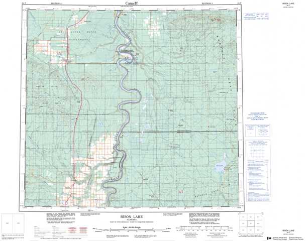
084F Bison Lake Topographic Maps
Maps for the Bison Lake map sheet 084F at 1:250,000 scale are available in 5 versions:
Topographic Map of Bison Lake
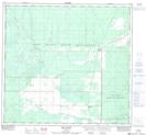
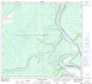
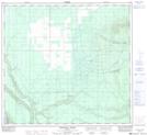
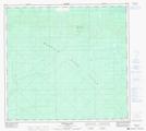
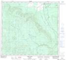
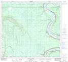
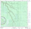
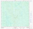
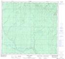
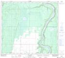
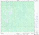
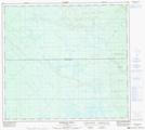
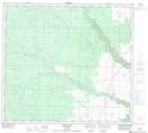
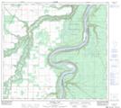
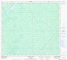
1:50,000 Scale Topos for Bison Lake 084F:
 |
 |
 |
 |
 |
 |
 |
 |
 |
 |
 |
 |
 |
 |
 |
 |
084F Related Maps:
084F Bison Lake
084F01 Bison Lake
084F02 Chester Creek
084F03 Crummy Lake
084F04 Hotchkiss
084F05 Goffit Creek
084F06 Nina Lake
084F07 Buhler Creek
084F08 Rossbear Creek
084F09 Donaldson Lake
084F10 Wolverine River
084F11 Scully Creek
084F12 Kemp River
084F13 Keg River
084F14 Paddle Prairie
084F15 Steephill Creek
084F16 Buffalo Hill
