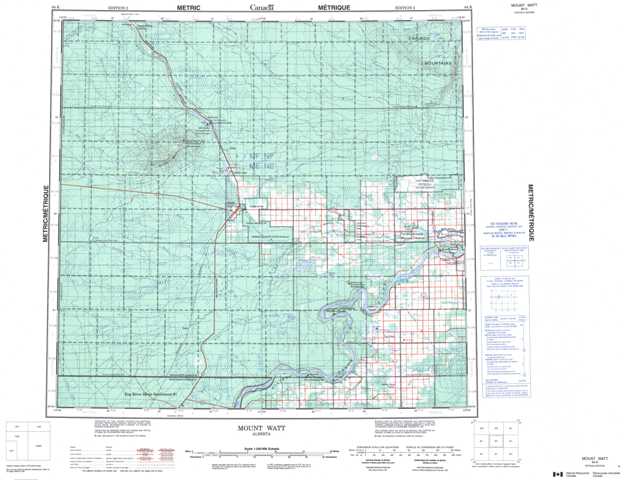
084K Mount Watt Topographic Maps
Maps for the Mount Watt map sheet 084K at 1:250,000 scale are available in 5 versions:
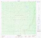
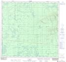
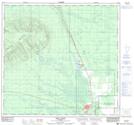
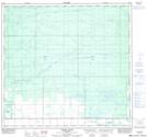
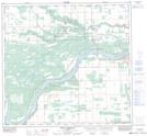
Topographic Map of Mount Watt
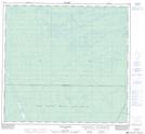
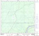
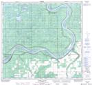
1:50,000 Scale Topos for Mount Watt 084K:
 |
 |
 |
 |
 |
 |
 |
 |
 |
 |
 |
 |
 |
 |
 |
 |
084K Related Maps:
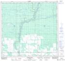
084K Mount Watt
084K01 Mustus Lake
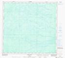
084K02 Moose Island
084K03 Metis
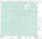
084K04 Chain Ponds
084K05 Kidney Pond
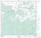
084K06 Parma Creek
084K07 Child Lake
084K08 Fort Vermilion
084K09 Ponton River
084K10 Bushe River
084K11 High Level
084K12 No Title
084K13 Henderson Creek
084K14 Hutch Lake
084K15 Melvin River
084K16 Hotte Lake
084K01 Mustus Lake
084K02 Moose Island
084K03 Metis
084K04 Chain Ponds
084K05 Kidney Pond
084K06 Parma Creek
084K07 Child Lake
084K08 Fort Vermilion
084K09 Ponton River
084K10 Bushe River
084K11 High Level
084K12 No Title
084K13 Henderson Creek
084K14 Hutch Lake
084K15 Melvin River
084K16 Hotte Lake
