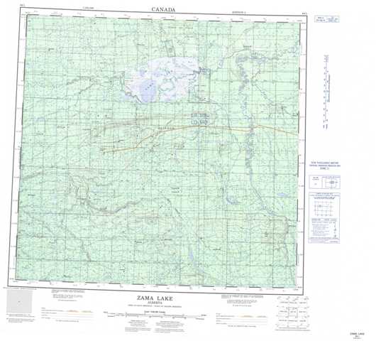
084L Zama Lake Topographic Maps
Maps for the Zama Lake map sheet 084L at 1:250,000 scale are available in 5 versions:
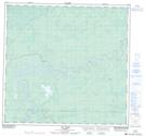
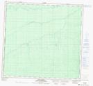
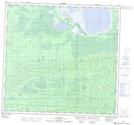
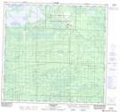
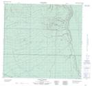
Topographic Map of Zama Lake
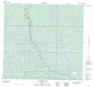
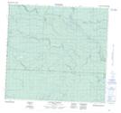
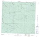
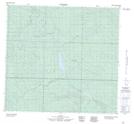
1:50,000 Scale Topos for Zama Lake 084L:
 |
 |
 |
 |
 |
 |
 |
 |
 |
 |
 |
 |
 |
 |
 |
 |
084L Related Maps:
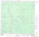
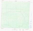
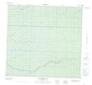
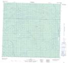
084L Zama Lake
084L01 Faria Creek
084L02 No Title
084L03 No Title
084L04 Chasm Creek
084L05 No Title
084L06 Rainbow Lake
084L07 No Title
084L08 Basset Lake
084L09 No Title
084L10 Assumption
084L11 No Title
084L12 Fire Creek
084L13 No Title
084L14 Vardie River
084L15 Habay
084L16 No Title
084L01 Faria Creek
084L02 No Title
084L03 No Title
084L04 Chasm Creek
084L05 No Title
084L06 Rainbow Lake
084L07 No Title
084L08 Basset Lake
084L09 No Title
084L10 Assumption
084L11 No Title
084L12 Fire Creek
084L13 No Title
084L14 Vardie River
084L15 Habay
084L16 No Title
