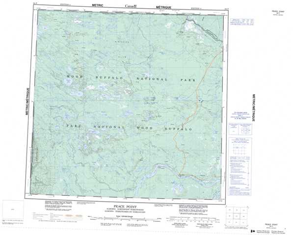
084P Peace Point Topographic Maps
Maps for the Peace Point map sheet 084P at 1:250,000 scale are available in 5 versions:
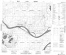
Topographic Map of Peace Point
1:50,000 Scale Topos for Peace Point 084P:
 |
 |
 |
 |
 |
 |
 |
 |
 |
 |
 |
 |
 |
 |
 |
 |
084P Related Maps:
084P Peace Point
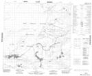
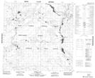
084P01 Square Lake
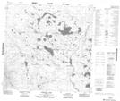
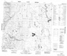
084P02 Boyer Rapids
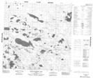
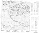
084P03 Patenaude Lake
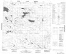
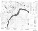
084P04 Burrison Lake
084P05 Bowhay Lake
084P06 Merryweather Lake
084P07 No Title
084P08 Pierre Lake
084P09 No Title
084P10 Upland Lake
084P11 Conibear Lake
084P12 Thultue Lake
084P13 Sass Lake
084P14 Preble Lake
084P15 Flatgrass Lake
084P16 Brine Creek
084P01 Square Lake
084P02 Boyer Rapids
084P03 Patenaude Lake
084P04 Burrison Lake
084P05 Bowhay Lake
084P06 Merryweather Lake
084P07 No Title
084P08 Pierre Lake
084P09 No Title
084P10 Upland Lake
084P11 Conibear Lake
084P12 Thultue Lake
084P13 Sass Lake
084P14 Preble Lake
084P15 Flatgrass Lake
084P16 Brine Creek
