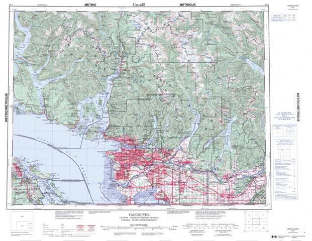
092G Vancouver Topographic Maps
Maps for the Vancouver map sheet 092G at 1:250,000 scale are available in 5 versions:
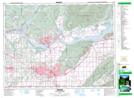
Topographic Map of Vancouver
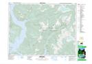
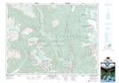
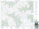
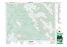
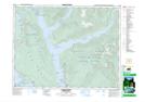
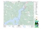
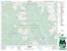
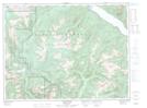
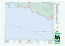
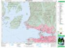
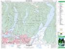
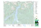
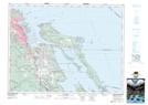
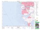
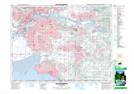
1:50,000 Scale Topos for Vancouver 092G:
 |
 |
 |
 |
 |
 |
 |
 |
 |
 |
 |
 |
 |
 |
 |
 |
092G Related Maps:
092G Vancouver
092G01 Mission
092G02 New Westminster
092G03 Lulu Island
092G04 Nanaimo
092G05 Sechelt
092G06 North Vancouver
092G07 Port Coquitlam
092G08 Stave Lake
092G09 Stave River
092G10 Pitt River
092G11 Squamish
092G12 Sechelt Inlet
092G13 Jervis Inlet
092G14 Cheakamus River
092G15 Mamquam Mountain
092G16 Glacier Lake
