092I Ashcroft Topographic Maps
Maps for the Ashcroft map sheet 092I at 1:250,000 scale are available in 5 versions:
Topographic Map of Ashcroft

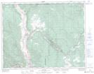
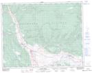
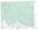
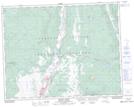
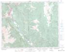
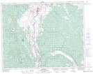
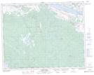
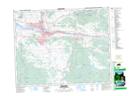
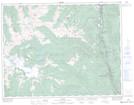
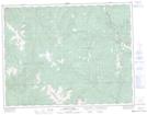
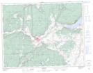
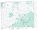
1:50,000 Scale Topos for Ashcroft 092I:
 |
 |
 |
 |
 |
 |
 |
 |
 |
 |
 |
 |
 |
 |
 |
 |
092I Related Maps:
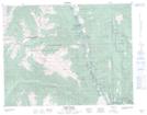
092I Ashcroft
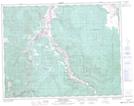
092I01 Douglas Lake
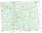
092I02 Merritt
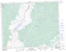
092I03 Prospect Creek
092I04 Lytton
092I05 Stein River
092I06 Spences Bridge
092I07 Mamit Lake
092I08 Stump Lake
092I09 Kamloops
092I10 Cherry Creek
092I11 Ashcroft
092I12 Lillooet
092I13 Pavilion
092I14 Cache Creek
092I15 Tranquille River
092I16 Heffley Creek
092I01 Douglas Lake
092I02 Merritt
092I03 Prospect Creek
092I04 Lytton
092I05 Stein River
092I06 Spences Bridge
092I07 Mamit Lake
092I08 Stump Lake
092I09 Kamloops
092I10 Cherry Creek
092I11 Ashcroft
092I12 Lillooet
092I13 Pavilion
092I14 Cache Creek
092I15 Tranquille River
092I16 Heffley Creek
