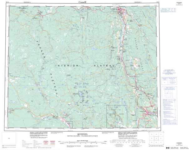
093B Quesnel Topographic Maps
Maps for the Quesnel map sheet 093B at 1:250,000 scale are available in 5 versions:
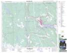
Topographic Map of Quesnel
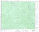
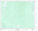
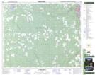
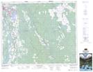
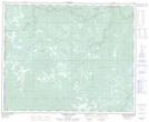
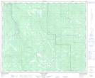
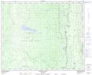
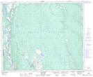
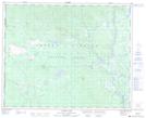
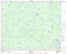
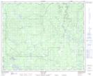
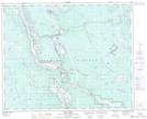
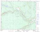
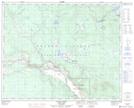
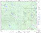
1:50,000 Scale Topos for Quesnel 093B:
 |
 |
 |
 |
 |
 |
 |
 |
 |
 |
 |
 |
 |
 |
 |
 |
093B Related Maps:
093B Quesnel
093B01 Williams Lake
093B02 Drummond Lake
093B03 Alexis Creek
093B04 Redstone
093B05 Loomis Lake
093B06 Stum Lake
093B07 Twan Lake
093B08 Soda Creek
093B09 Alexandria
093B10 Narcosli Creek
093B11 Tautri Creek
093B12 Clisbako River
093B13 Marmot Lake
093B14 Long John Creek
093B15 Baker Creek
093B16 Quesnel River
