093G Prince George Topographic Maps
Maps for the Prince George map sheet 093G at 1:250,000 scale are available in 5 versions:
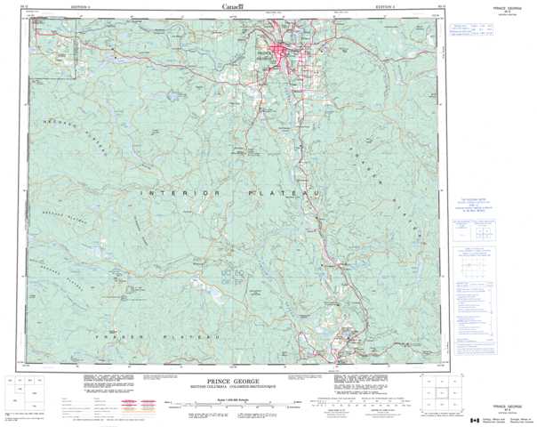
Topographic Map of Prince George
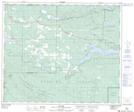
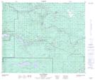
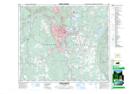
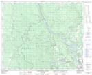
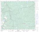
1:50,000 Scale Topos for Prince George 093G:
 |
 |
 |
  |
 |
 |
 |
 |
 |
 |
 |
 |
 |
 |
 |
 |
093G Related Maps:
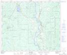
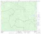
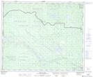
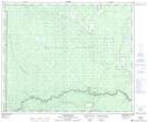
093G Prince George
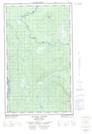
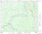
093G01 Cottonwood
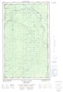
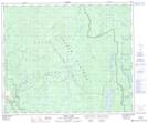
093G02 Cottonwood Canyon
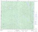
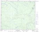
093G03 Pantage Lake
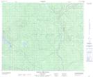
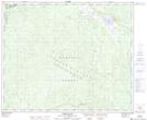
093G04 Coglistiko River
093G05 Pelican Lake
093G06 Punchaw Lake
093G07 Hixon
093G08 Ahbau Lake
093G09 Pitoney Lake
093G10 Red Rock
093G11 Bobtail Mountain
093G12 Chilako River
093G13 Hulatt
093G14 Isle Pierre
093G15 Prince George
093G16E Wansa Creek
093G16W Wansa Creek
093G01 Cottonwood
093G02 Cottonwood Canyon
093G03 Pantage Lake
093G04 Coglistiko River
093G05 Pelican Lake
093G06 Punchaw Lake
093G07 Hixon
093G08 Ahbau Lake
093G09 Pitoney Lake
093G10 Red Rock
093G11 Bobtail Mountain
093G12 Chilako River
093G13 Hulatt
093G14 Isle Pierre
093G15 Prince George
093G16E Wansa Creek
093G16W Wansa Creek
