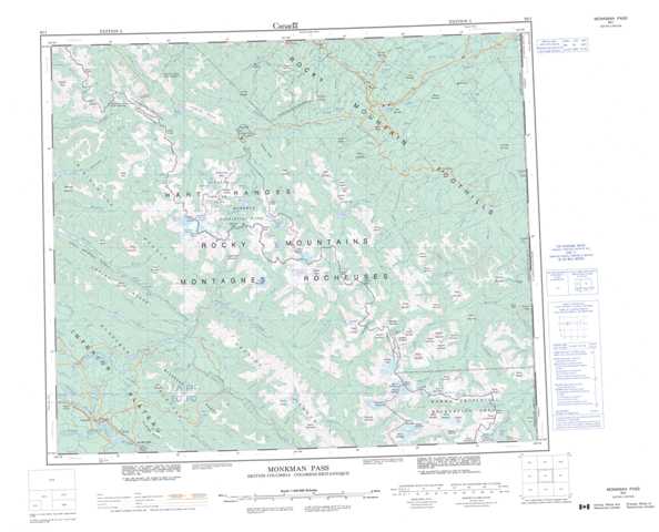
093I Monkman Pass Topographic Maps
Maps for the Monkman Pass map sheet 093I at 1:250,000 scale are available in 5 versions:
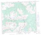
Topographic Map of Monkman Pass
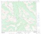
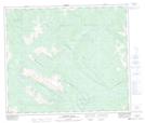
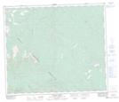
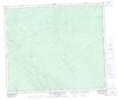
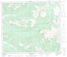
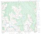
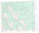
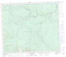
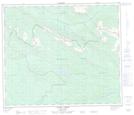
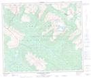
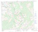
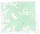
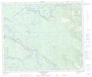
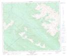
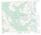
1:50,000 Scale Topos for Monkman Pass 093I:
 |
 |
 |
 |
 |
 |
 |
 |
 |
 |
 |
 |
 |
 |
 |
 |
093I Related Maps:
093I Monkman Pass
093I01 Jarvis Lakes
093I02 Ovington Creek
093I03 Gleason Creek
093I04 Sinclair Mills
093I05 Otter Creek
093I06 Spakwaniko Creek
093I07 Wapiti Pass
093I08 Belcourt Lake
093I09 Belcourt Creek
093I10 Wapiti Lake
093I11 Monkman Pass
093I12 Missinka River
093I13 Sentinel Peak
093I14 Kinuseo Falls
093I15 Kinuseo Creek
093I16 South Redwillow River
