094G Trutch Topographic Maps
Maps for the Trutch map sheet 094G at 1:250,000 scale are available in 5 versions:
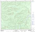
Topographic Map of Trutch
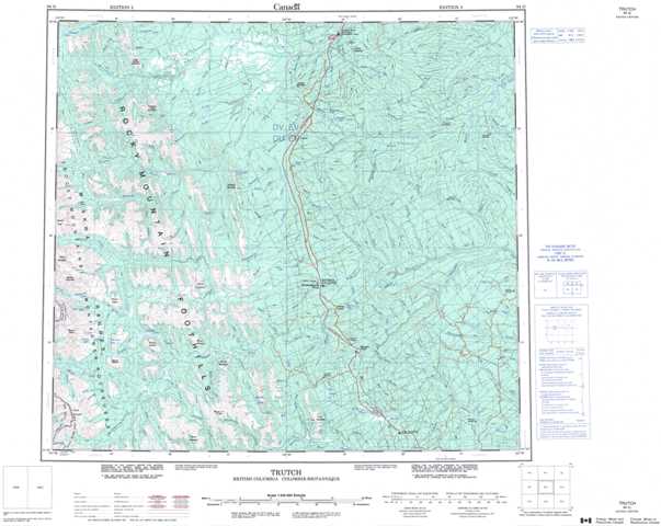
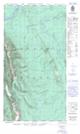
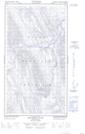
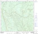
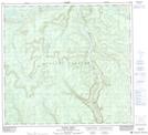
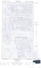
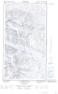
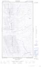
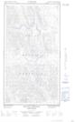
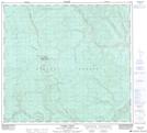
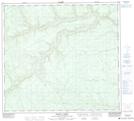
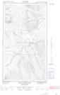
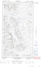
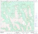
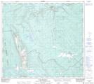
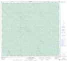
1:50,000 Scale Topos for Trutch 094G:
 |
  |
 |
 |
  |
  |
 |
 |
  |
  |
 |
 |
  |
 |
 |
 |
094G Related Maps:
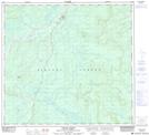
094G Trutch
094G01 Julienne Creek
094G02 Pink Mountain
094G03 Marion Lake
094G04E Mount Mccusker
094G04W Mount Mccusker
094G05E Redfern Lake
094G05W Redfern Lake
094G06E Mount Withrow
094G06W Mount Withrow
094G07 Caribou Creek
094G08 Medana Creek
094G09 Donnie Creek
094G10 Trutch
094G11E Minaker River
094G11W Minaker River
094G12E Richards Creek
094G12W Richards Creek
094G13 Kluachesi Lake
094G14E Bunch Creek
094G14W Bunch Creek
094G15 Bougie Creek
094G16 Boat Creek
