094J Fort Nelson Topographic Maps
Maps for the Fort Nelson map sheet 094J at 1:250,000 scale are available in 5 versions:
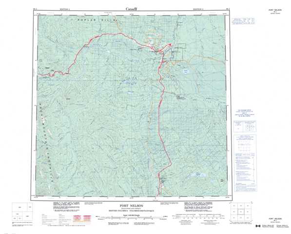
Topographic Map of Fort Nelson
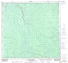
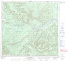
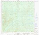
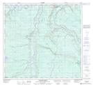
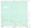
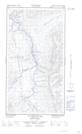
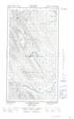
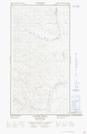
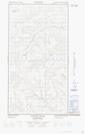
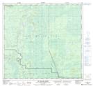
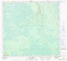
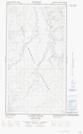
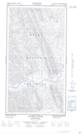
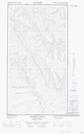
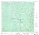
1:50,000 Scale Topos for Fort Nelson 094J:
 |
 |
 |
 |
 |
 |
 |
 |
  |
  |
 |
 |
  |
  |
 |
 |
094J Related Maps:
094J Fort Nelson
094J01 Klua Lakes
094J02 Prophet River
094J03E Tenaka Creek
094J03W Tenaka Creek
094J04E Gathto Creek
094J04W Gathto Creek
094J05E Tuchodi River
094J05W Tuchodi River
094J06E Cheves Creek
094J06W Cheves Creek
094J07 Big Beaver Creek
094J08 Klua Creek
094J09 Clarke Lake
094J10 Jackfish Creek
094J11 Akue Creek
094J12 Chischa River
094J13 Kledo Creek
094J14 Rasberry Creek
094J15 Fort Nelson
094J16 Chuatse Creek
