094K Tuchodi Lakes Topographic Maps
Maps for the Tuchodi Lakes map sheet 094K at 1:250,000 scale are available in 5 versions:
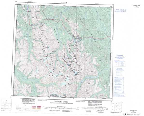
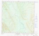
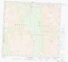
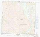
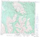
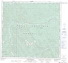
Topographic Map of Tuchodi Lakes
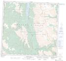
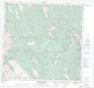
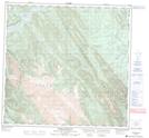
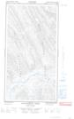
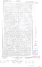
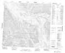
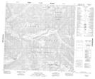
1:50,000 Scale Topos for Tuchodi Lakes 094K:
 |
 |
 |
 |
 |
 |
 |
 |
 |
 |
 |
  |
 |
 |
 |
  |
094K Related Maps:
094K Tuchodi Lakes
094K01E Mount Sylvia
094K01W Mount Sylvia
094K02 Sicily Mountain
094K03 Churchill Peak
094K04 No Title
094K05 No Title
094K06 Normandy Mountain
094K07 Wokkpash Lake
094K08E Chlotapecta Creek
094K08W Chlotapecta Creek
094K09 North Tetsa River
094K10 Mount St George
094K11 Yedhe Mountain
094K12 Yedhe Creek
094K13 Muncho Lake
094K14 Toad Hot Springs
094K15 Stone Mountain
094K16 Mcclennan Creek
