103G Hecate Strait Topographic Maps
Maps for the Hecate Strait map sheet 103G at 1:250,000 scale are available in 5 versions:
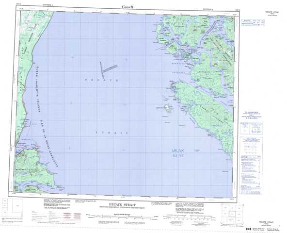
Topographic Map of Hecate Strait
1:50,000 Scale Topos for Hecate Strait 103G:
  |
 |
 |
|
 |
 |
 |
|
 |
 |
 |
|
 |
103G Related Maps:
103G Hecate Strait
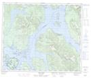
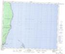
103G04 Cumshewa Inlet
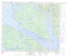
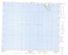
103G05 Lawnhill
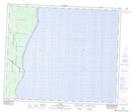
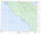
103G07 Bonilla Island
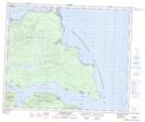
103G08 Banks Lakes
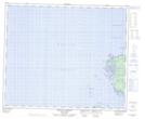
103G09 Mccauley Island
103G10 Griffith Harbour
103G12 Tlell
103G13E Eagle Hill
103G13W Eagle Hill
103G15 Kitkatla Inlet
103G16 Oona River
103G04 Cumshewa Inlet
103G05 Lawnhill
103G07 Bonilla Island
103G08 Banks Lakes
103G09 Mccauley Island
103G10 Griffith Harbour
103G12 Tlell
103G13E Eagle Hill
103G13W Eagle Hill
103G15 Kitkatla Inlet
103G16 Oona River
