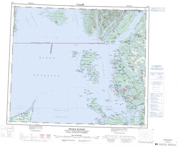
103J Prince Rupert Topographic Maps
Maps for the Prince Rupert map sheet 103J at 1:250,000 scale are available in 5 versions:
Topographic Map of Prince Rupert
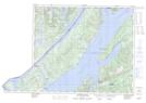
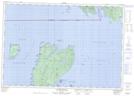
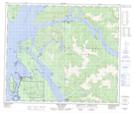
1:50,000 Scale Topos for Prince Rupert 103J:
 |
|||
 |
 |
||
 |
 |
||
  |
 |
 |
103J Related Maps:
103J Prince Rupert
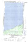
103J01 Port Edward
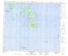
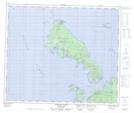
103J02 Stephens Island
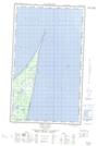
103J04E Tow Hill
103J04W Tow Hill
103J07 Melville Island
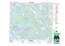
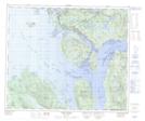
103J08 Prince Rupert
103J09 Port Simpson
103J10 Dundas Island
103J16 Pearse Island
103J01 Port Edward
103J02 Stephens Island
103J04E Tow Hill
103J04W Tow Hill
103J07 Melville Island
103J08 Prince Rupert
103J09 Port Simpson
103J10 Dundas Island
103J16 Pearse Island
