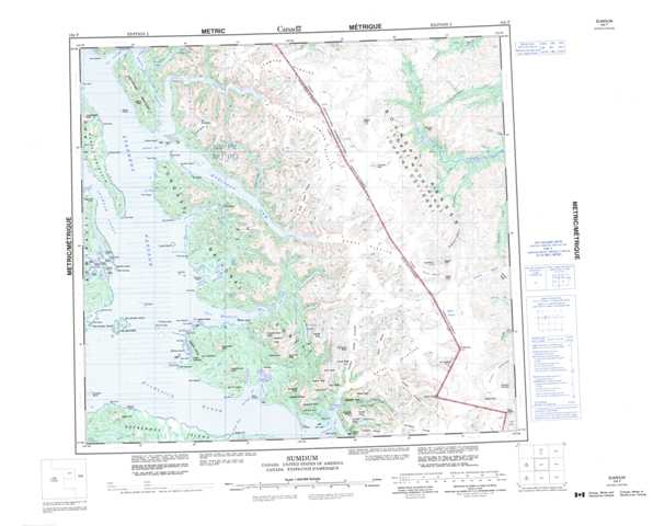
104F Sumdum Topographic Maps
Maps for the Sumdum map sheet 104F at 1:250,000 scale are available in 5 versions:
Topographic Map of Sumdum
1:50,000 Scale Topos for Sumdum 104F:
 |
 |
||
 |
 |
||
 |
|||
 |
104F Related Maps:
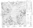
104F Sumdum
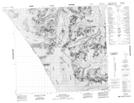
104F01 Dominion Mountain
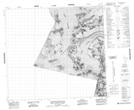
104F08 Mount Ratz
104F09 Dirst Creek
104F10 Sheppard Peak
104F15 Owens Peak
104F16 Chutine Peak
104F01 Dominion Mountain
104F08 Mount Ratz
104F09 Dirst Creek
104F10 Sheppard Peak
104F15 Owens Peak
104F16 Chutine Peak
