104G Telegraph Creek Topographic Maps
Maps for the Telegraph Creek map sheet 104G at 1:250,000 scale are available in 5 versions:
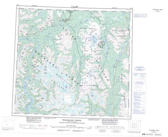
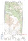
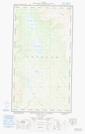
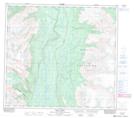
Topographic Map of Telegraph Creek
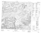
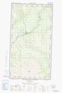
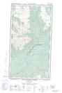
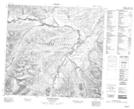
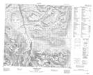
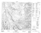
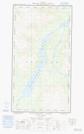
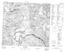
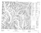
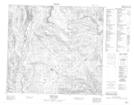
1:50,000 Scale Topos for Telegraph Creek 104G:
 |
  |
  |
  |
 |
 |
 |
  |
 |
 |
 |
 |
 |
 |
 |
 |
104G Related Maps:
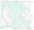
104G Telegraph Creek
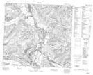
104G01 Iskut River
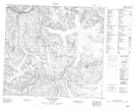
104G02 More Creek
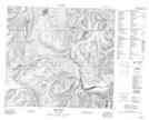
104G03 Sphaler Creek
104G04 Flood Glacier
104G05 Scud River
104G06 Scud Glacier
104G07 Mess Lake
104G08 Refuge Lake
104G09E Kinaskan Lake
104G09W Kinaskan Lake
104G10 Mount Edziza
104G11 Yehiniko Lake
104G12 Chutine River
104G13 Tahltan Lake
104G14E Telegraph Creek
104G14W Telegraph Creek
104G15E Buckley Lake
104G15W Buckley Lake
104G16E Klastline River
104G16W Klastline River
104G01 Iskut River
104G02 More Creek
104G03 Sphaler Creek
104G04 Flood Glacier
104G05 Scud River
104G06 Scud Glacier
104G07 Mess Lake
104G08 Refuge Lake
104G09E Kinaskan Lake
104G09W Kinaskan Lake
104G10 Mount Edziza
104G11 Yehiniko Lake
104G12 Chutine River
104G13 Tahltan Lake
104G14E Telegraph Creek
104G14W Telegraph Creek
104G15E Buckley Lake
104G15W Buckley Lake
104G16E Klastline River
104G16W Klastline River
