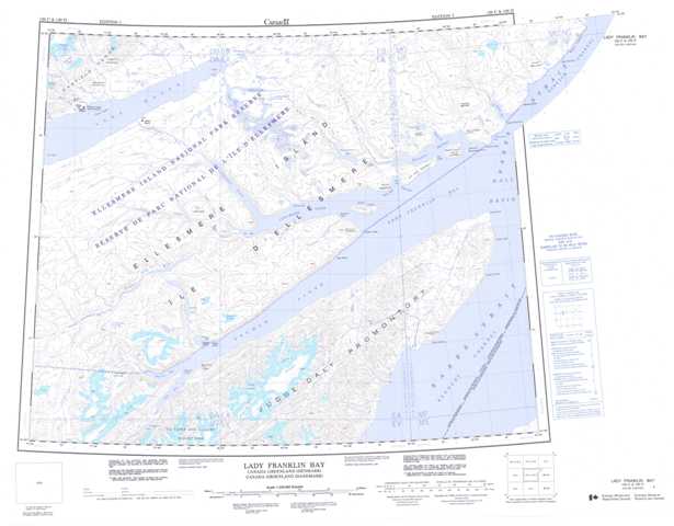
120C Lady Franklin Bay Topographic Maps
Maps for the Lady Franklin Bay map sheet 120C at 1:250,000 scale are available in 5 versions:
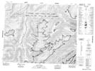
Topographic Map of Lady Franklin Bay
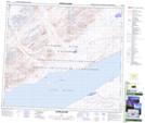
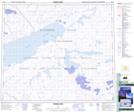
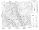
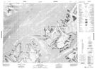
1:50,000 Scale Topos for Lady Franklin Bay 120C:
 |
 |
 |
 |
 |
 |
 |
 |
 |
 |
 |
|
 |
 |
120C Related Maps:
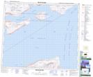
120C Lady Franklin Bay
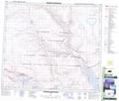
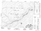
120C03 Record Point
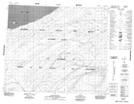
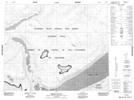
120C04 Mount Neville
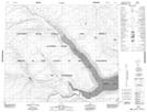
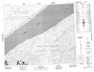
120C05 Carolyn Lake
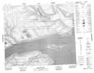
120C06 Simmons Ice Cap
120C07 Hare Point
120C09 Bellot Island
120C10 Miller Island
120C11 Ida Bay
120C12 Dyas Island
120C13 Johns Island
120C14 Craig Lake
120C15 Black Rock Vale
120C16 Hogback Mountain
120C03 Record Point
120C04 Mount Neville
120C05 Carolyn Lake
120C06 Simmons Ice Cap
120C07 Hare Point
120C09 Bellot Island
120C10 Miller Island
120C11 Ida Bay
120C12 Dyas Island
120C13 Johns Island
120C14 Craig Lake
120C15 Black Rock Vale
120C16 Hogback Mountain
