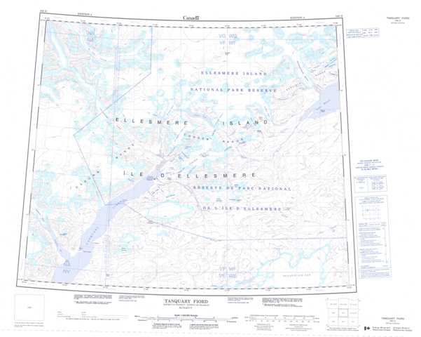
340D Tanquary Fiord Topographic Maps
Maps for the Tanquary Fiord map sheet 340D at 1:250,000 scale are available in 5 versions:
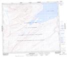
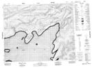
Topographic Map of Tanquary Fiord
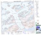
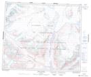
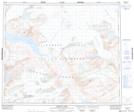
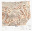
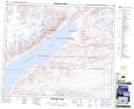
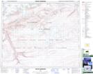
1:50,000 Scale Topos for Tanquary Fiord 340D:
 |
|||
 |
 |
 |
|
 |
 |
 |
 |
 |
 |
 |
 |
340D Related Maps:
340D Tanquary Fiord
340D01 Nan Lake
340D02 Mount Koch
340D03 Mount Nebel
340D04 Mckinley Bay
340D05 Bent Glacier
340D06 Tanquary Camp
340D07 Mount Sherwood
340D08 Mount C S Smith
340D09 Whisler Island
340D10 Ekblaw Lake
340D11 Fiala Glacier
340D16 Henrietta Nesmith Glacier
340D01 Nan Lake
340D02 Mount Koch
340D03 Mount Nebel
340D04 Mckinley Bay
340D05 Bent Glacier
340D06 Tanquary Camp
340D07 Mount Sherwood
340D08 Mount C S Smith
340D09 Whisler Island
340D10 Ekblaw Lake
340D11 Fiala Glacier
340D16 Henrietta Nesmith Glacier
