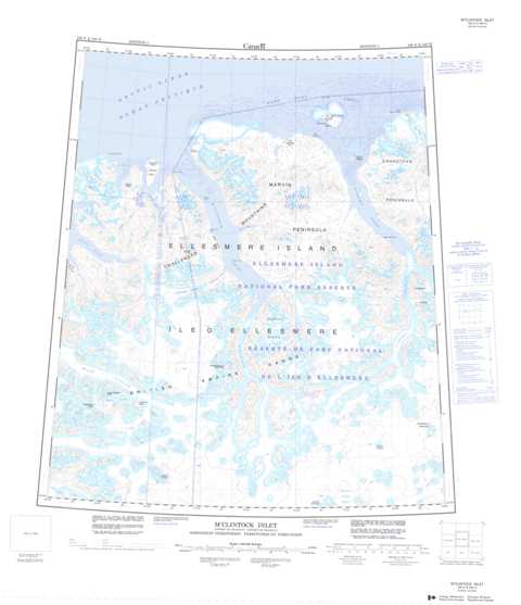
340E M'Clintock Inlet Topographic Maps
Maps for the M'Clintock Inlet map sheet 340E at 1:250,000 scale are available in 5 versions:
Topographic Map of M'Clintock Inlet
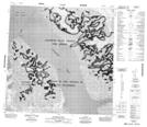
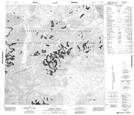
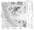
1:50,000 Scale Topos for M'Clintock Inlet 340E:
 |
 |
 |
|
 |
 |
 |
|
340E Related Maps:
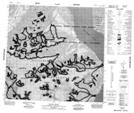
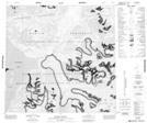
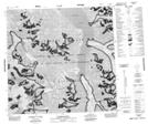
340E M'Clintock Inlet
340E09 Lorimer Ridge
340E10 Harley Ridge
340E11 Mount Ayles
340E14 Egingwah Bay
340E15 Disraeli Creek
340E16 Disraeli Fiord
340E09 Lorimer Ridge
340E10 Harley Ridge
340E11 Mount Ayles
340E14 Egingwah Bay
340E15 Disraeli Creek
340E16 Disraeli Fiord
