Free Lac Guillaume-Delisle Topographic Map
Topo maps you can print: 034C Lac Guillaume-Delisle
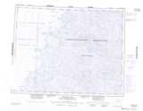
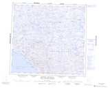
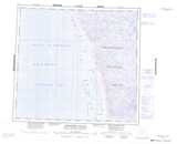
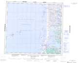
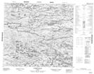
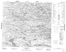
034C Lac Guillaume-Delisle Topo Map
To view this map, mouse over the map preview on the right.
You can also download and print this topo map for free:
034C Lac Guillaume-Delisle low-resolution printable topographic map.
A high-resolution map of Lac Guillaume-Delisle is available on Data-DVD.
Maps for the Lac Guillaume-Delisle map sheet 034C at 1:250,000 scale are also available in these 4 versions:
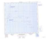
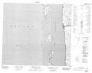
Lac Guillaume-Delisle Surrounding Area Topographic Maps at 1:250,000 scale (NTS 034)
 |
 |
 |
|
 |
 |
 |
 |
 |
 |
 |
 |
 |
 |
 |
 |
© Department of Natural Resources Canada. All rights reserved.
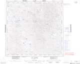
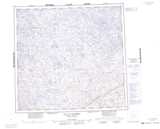
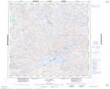
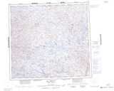
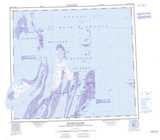
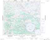
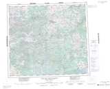
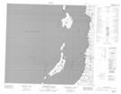
Lac Guillaume-Delisle Topo Maps at 1:50,000 (NTS 034C)
 |
 |
||
 |
 |
||
 |
 |
||
 |
 |
© Department of Natural Resources Canada. All rights reserved.
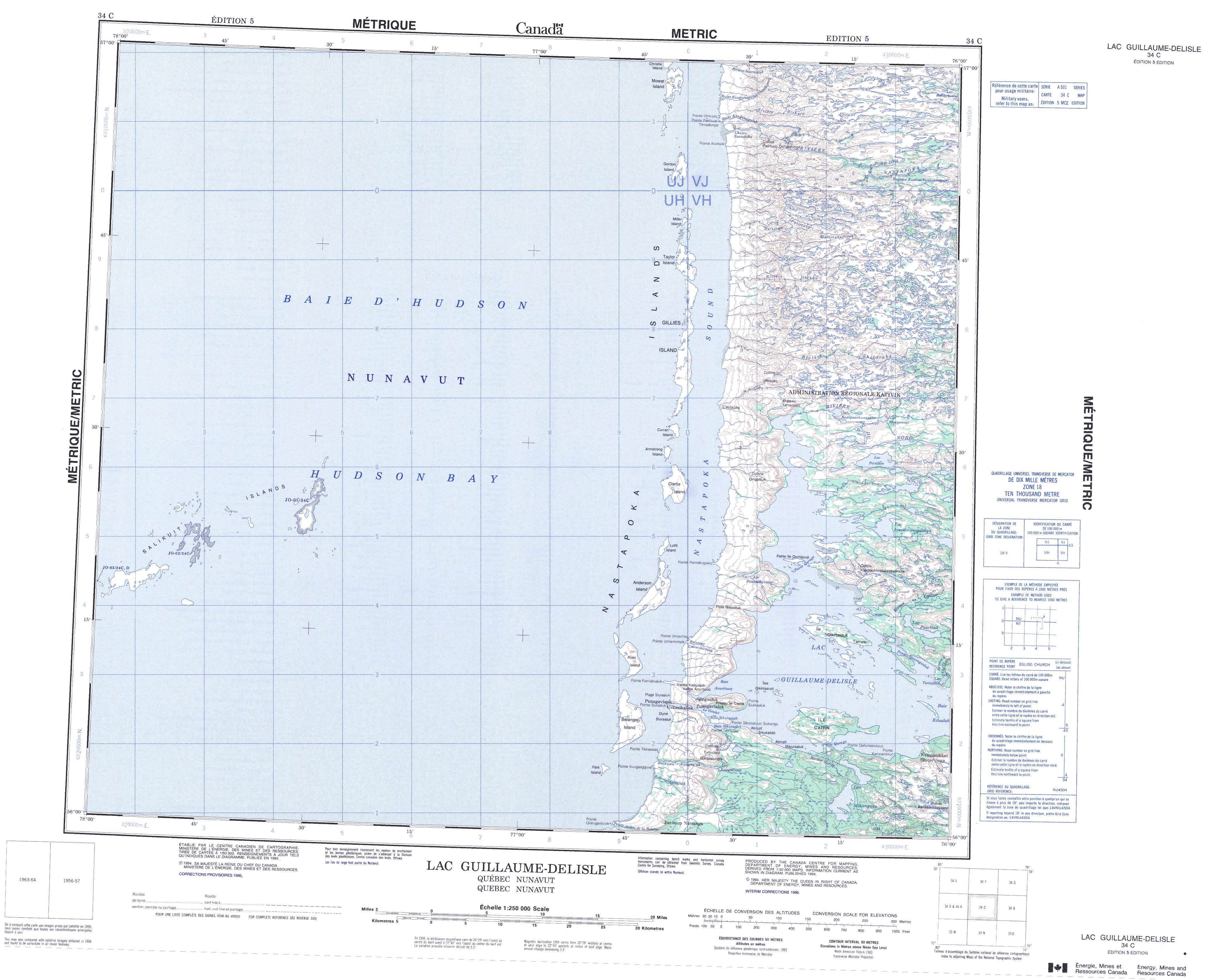
© Department of Natural Resources Canada. All rights reserved.
