Free Jervoise River Topographic Map
Topo maps you can print: 066E Jervoise River
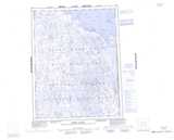
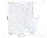
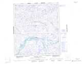
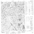
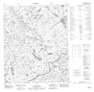
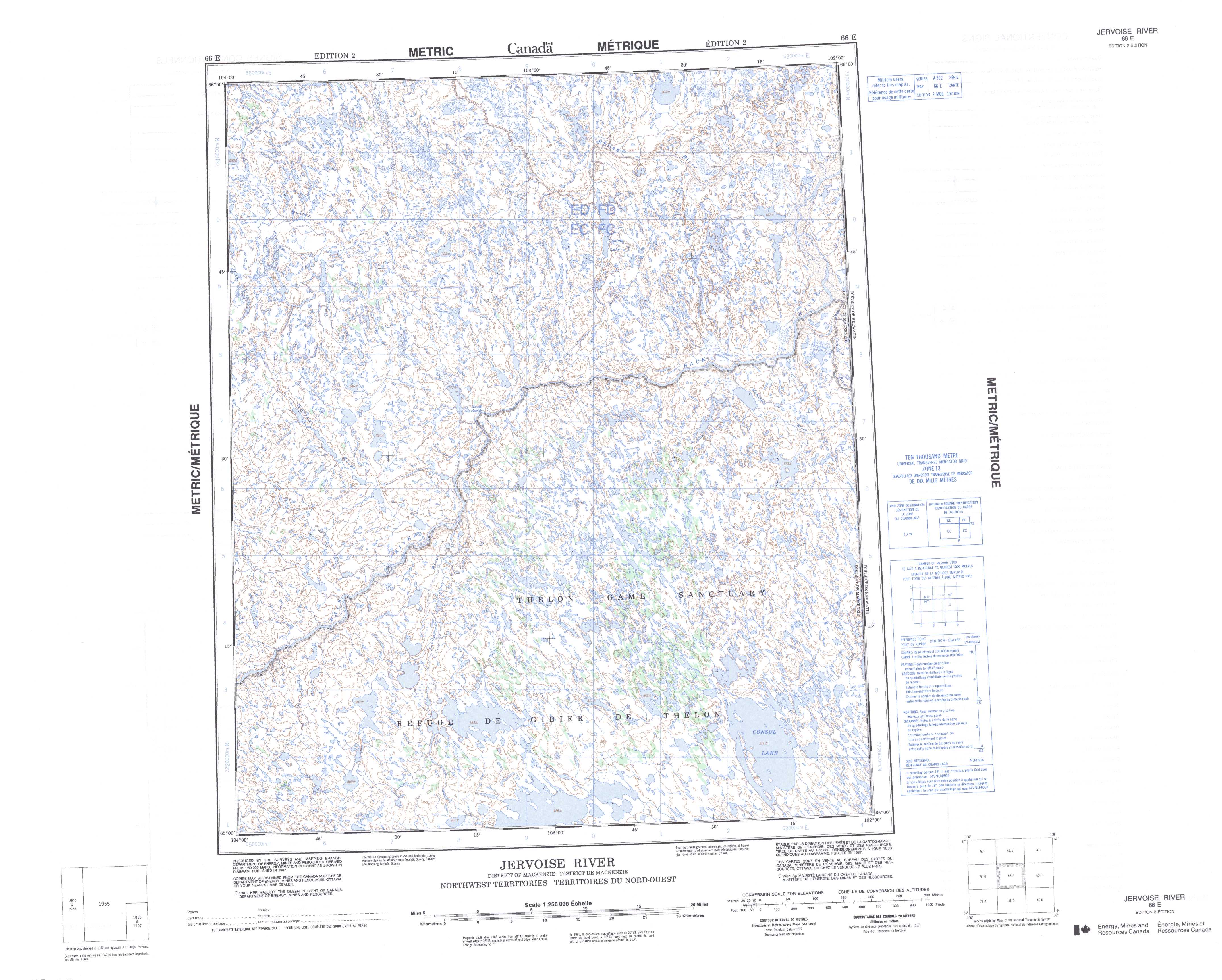
066E Jervoise River Topo Map
To view this map, mouse over the map preview on the right.
You can also download and print this topo map for free:
066E Jervoise River low-resolution printable topographic map.
A high-resolution map of Jervoise River is available on Data-DVD.
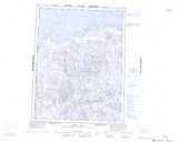
Maps for the Jervoise River map sheet 066E at 1:250,000 scale are also available in these 4 versions:
Jervoise River Surrounding Area Topographic Maps at 1:250,000 scale (NTS 066)
 |
 |
 |
 |
 |
 |
 |
 |
 |
 |
 |
 |
 |
 |
 |
 |
© Department of Natural Resources Canada. All rights reserved.
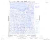
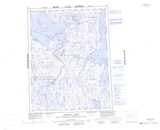
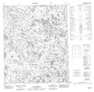
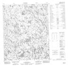
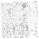
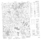
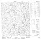
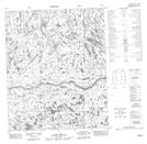
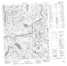
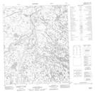
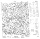
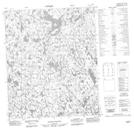
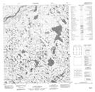
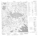
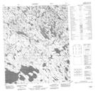
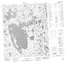
Jervoise River Topo Maps at 1:50,000 (NTS 066E)
 |
 |
 |
 |
 |
 |
 |
 |
 |
 |
 |
 |
 |
 |
 |
 |
© Department of Natural Resources Canada. All rights reserved.
© Department of Natural Resources Canada. All rights reserved.
