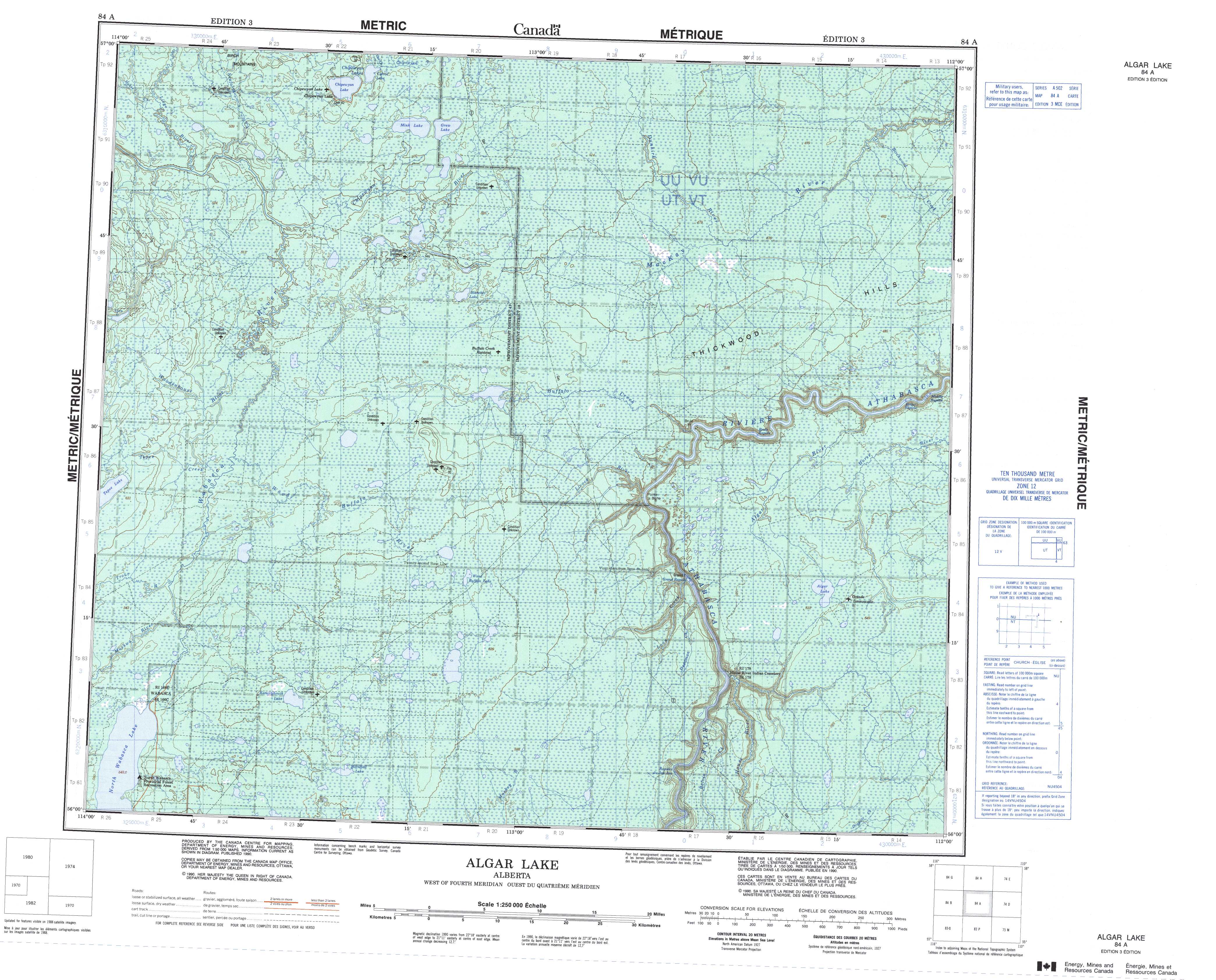
Free Algar Lake Topographic Map
Topo maps you can print: 084A Algar Lake
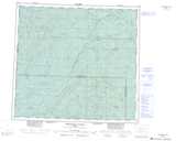
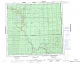
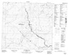
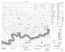
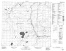
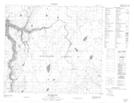
084A Algar Lake Topo Map
To view this map, mouse over the map preview on the right.
You can also download and print this topo map for free:
084A Algar Lake low-resolution printable topographic map.
A high-resolution map of Algar Lake is available on Data-DVD.
Maps for the Algar Lake map sheet 084A at 1:250,000 scale are also available in these 4 versions:
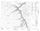
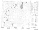
Algar Lake Surrounding Area Topographic Maps at 1:250,000 scale (NTS 084)
 |
 |
 |
 |
 |
 |
 |
 |
 |
 |
 |
 |
 |
 |
 |
 |
© Department of Natural Resources Canada. All rights reserved.
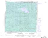
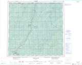
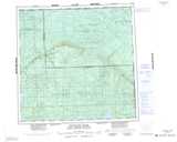
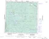
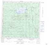
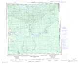
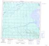
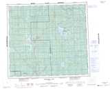
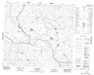
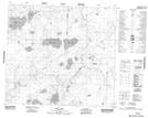
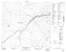
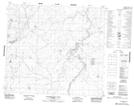
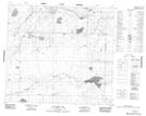
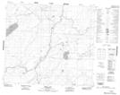
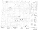
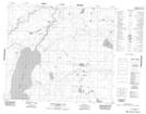
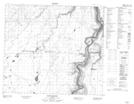
Algar Lake Topo Maps at 1:50,000 (NTS 084A)
 |
 |
 |
 |
 |
 |
 |
 |
 |
 |
 |
 |
 |
 |
 |
 |
© Department of Natural Resources Canada. All rights reserved.
© Department of Natural Resources Canada. All rights reserved.
084A Related Maps:
084A Algar Lake084A01 House River
084A02 Boivin Creek
084A03 Horsetail Lake
084A04 North Wabasca Lake
084A05 Tepee Lake
084A06 Wood Buffalo Lake
084A07 Livock River
084A08 Algar Lake
084A09 Boiler Rapids
084A10 Brule Point
084A11 Blanchet Lake
084A12 Woodenhouse River
084A13 Liege River
084A14 Mink Lake
084A15 Dunkirk River
084A16 Birchwood Creek
