Free Cape Krusenstern Topographic Map
Topo maps you can print: 087A Cape Krusenstern
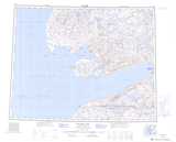
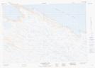
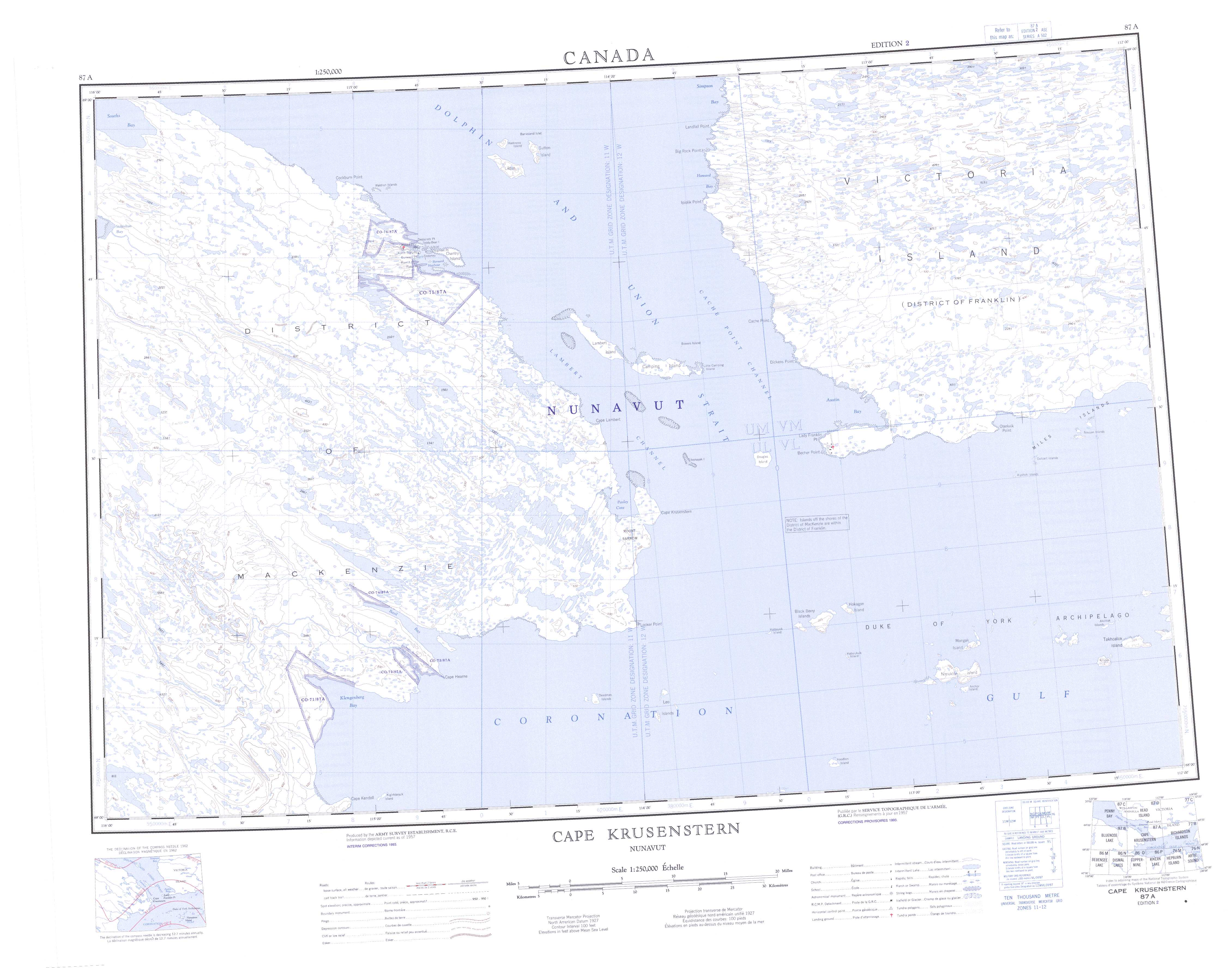
087A Cape Krusenstern Topo Map
To view this map, mouse over the map preview on the right.
You can also download and print this topo map for free:
087A Cape Krusenstern low-resolution printable topographic map.
A high-resolution map of Cape Krusenstern is available on Data-DVD.
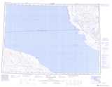
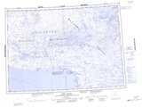
Maps for the Cape Krusenstern map sheet 087A at 1:250,000 scale are also available in these 4 versions:
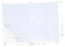
Cape Krusenstern Surrounding Area Topographic Maps at 1:250,000 scale (NTS 087)
 |
 |
 |
 |
 |
 |
 |
 |
© Department of Natural Resources Canada. All rights reserved.
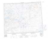
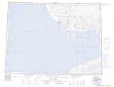
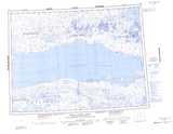
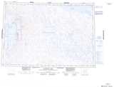
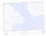
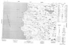
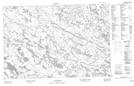
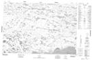
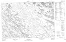
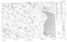
Cape Krusenstern Topo Maps at 1:50,000 (NTS 087A)
 |
 |
 |
 |
 |
|
|
 |
 |
 |
|
|
 |
|
|
|
© Department of Natural Resources Canada. All rights reserved.
© Department of Natural Resources Canada. All rights reserved.
087A Related Maps:
087A Cape Krusenstern087A01E Nanukton Island
087A01W Nanukton Island
087A02E Black Berry Islands
087A02W Black Berry Islands
087A03E Cape Hearne
087A03W Cape Hearne
087A04 No Title
087A05 No Title
087A06 Mount Barrow
087A07E Douglas Island
087A07W Douglas Island
087A08E Miles Islands
087A08W Miles Islands
087A09 No Title
087A10E Dickens Point
087A10W Dickens Point
087A11E Lambert Island
087A11W Lambert Island
087A12 No Title
087A13 Cockburn Point
087A14 Bernard Harbour
087A15 Howard Bay
087A16 No Title
