Free Taseko Lakes Topographic Map
Topo maps you can print: 092O Taseko Lakes
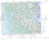
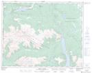
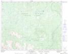
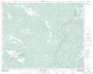
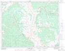
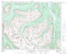
092O Taseko Lakes Topo Map
To view this map, mouse over the map preview on the right.
You can also download and print this topo map for free:
092O Taseko Lakes low-resolution printable topographic map.
A high-resolution map of Taseko Lakes is available on Data-DVD.
Maps for the Taseko Lakes map sheet 092O at 1:250,000 scale are also available in these 4 versions:
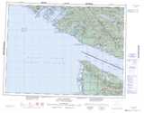
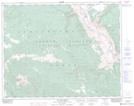
Taseko Lakes Surrounding Area Topographic Maps at 1:250,000 scale (NTS 092)
 |
 |
 |
 |
 |
 |
 |
 |
 |
 |
 |
 |
 |
 |
© Department of Natural Resources Canada. All rights reserved.
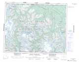
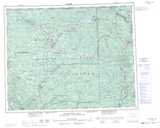
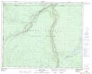
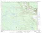
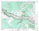
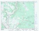
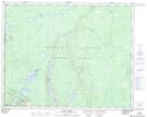
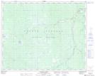
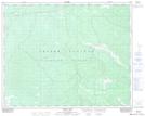
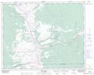
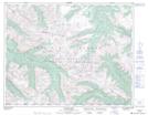
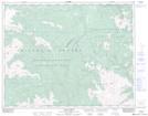
Taseko Lakes Topo Maps at 1:50,000 (NTS 092O)
 |
 |
 |
 |
 |
 |
 |
 |
 |
 |
 |
 |
 |
 |
 |
 |
© Department of Natural Resources Canada. All rights reserved.

© Department of Natural Resources Canada. All rights reserved.
092O Related Maps:
092O Taseko Lakes092O01 Big Bar Creek
092O02 Noaxe Creek
092O03 Warner Pass
092O04 Tchaikazan River
092O05 Mount Tatlow
092O06 Anvil Mountain
092O07 Churn Creek
092O08 Empire Valley
092O09 Dog Creek
092O10 Mount Alex
092O11 Bambrick Creek
092O12 Elkin Creek
092O13 Scum Lake
092O14 Hanceville
092O15 Riske Creek
092O16 Alkali Lake
