Free Nechako River Topographic Map
Topo maps you can print: 093F Nechako River
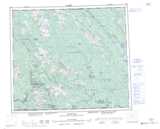
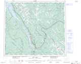
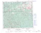
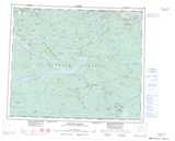
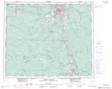
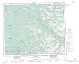
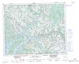
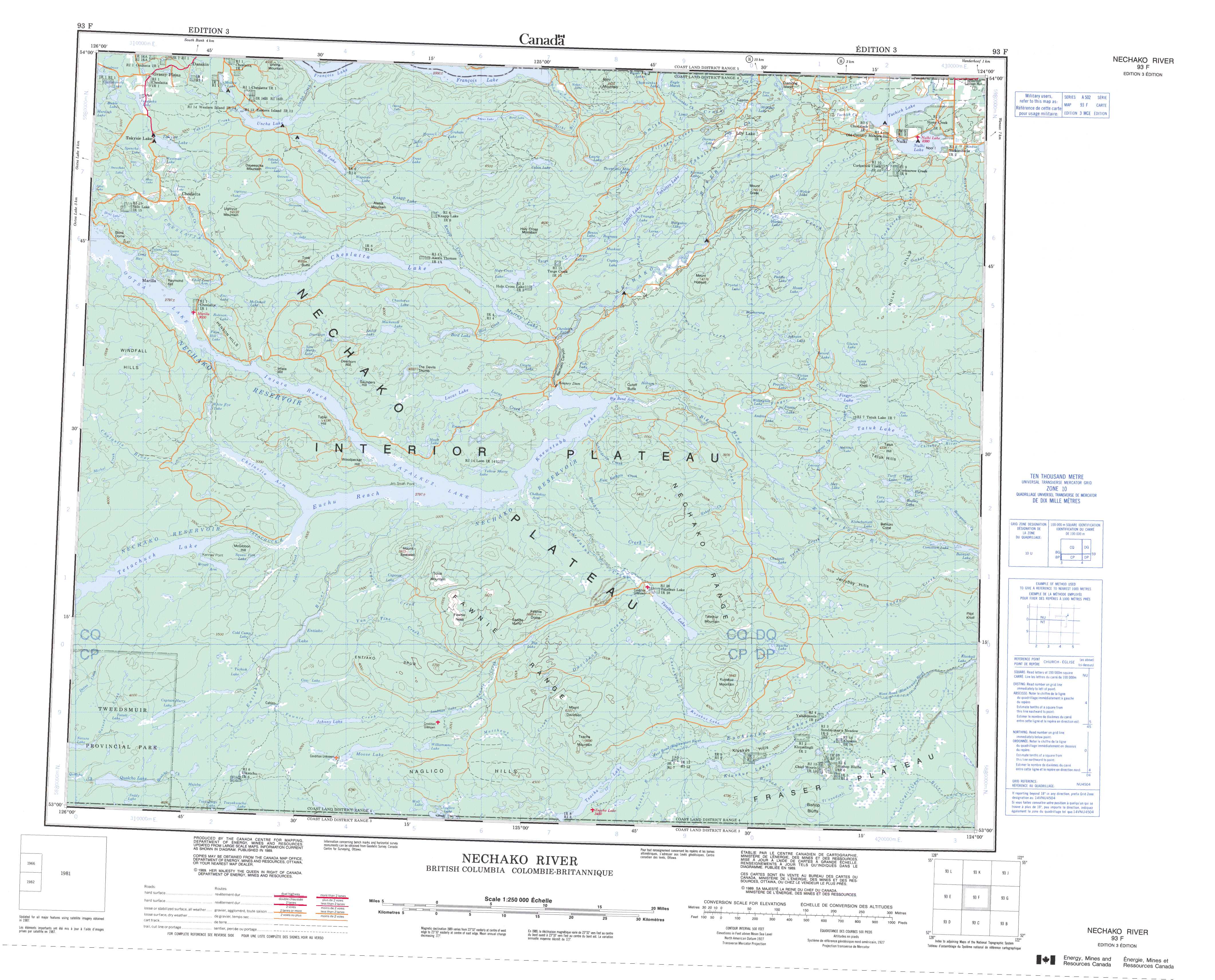
093F Nechako River Topo Map
To view this map, mouse over the map preview on the right.
You can also download and print this topo map for free:
093F Nechako River low-resolution printable topographic map.
A high-resolution map of Nechako River is available on Data-DVD.
Maps for the Nechako River map sheet 093F at 1:250,000 scale are also available in these 4 versions:
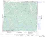
Nechako River Surrounding Area Topographic Maps at 1:250,000 scale (NTS 093)
 |
 |
 |
 |
 |
 |
 |
 |
 |
 |
 |
 |
 |
 |
 |
 |
© Department of Natural Resources Canada. All rights reserved.
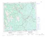
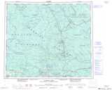
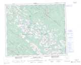
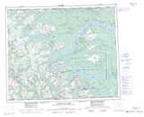
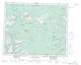
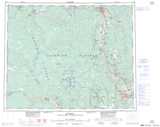
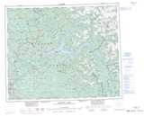
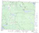
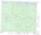
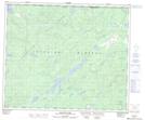
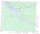
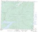
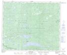
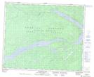
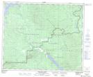
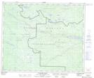
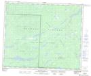
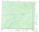
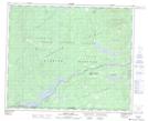
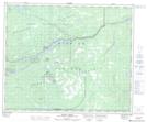
Nechako River Topo Maps at 1:50,000 (NTS 093F)
 |
 |
 |
 |
 |
 |
 |
 |
 |
 |
 |
 |
 |
 |
 |
 |
© Department of Natural Resources Canada. All rights reserved.
© Department of Natural Resources Canada. All rights reserved.
093F Related Maps:
093F Nechako River093F01 Suscha Creek
093F02 Tsacha Lake
093F03 Fawnie Creek
093F04 Qualcho Lake
093F05 Tetachuck Lake
093F06 Natalkuz Lake
093F07 Chedakuz Creek
093F08 Euchiniko River
093F09 Tatuk Lake
093F10 Big Bend Creek
093F11 Cheslatta Lake
093F12 Marilla
093F13 Takysie Lake
093F14 Knapp Lake
093F15 Hallett Lake
093F16 Nulki Lake
