Sable Island Satellite Image Map
Download Free Aerial Photo 010O13 at 1:50,000 scale
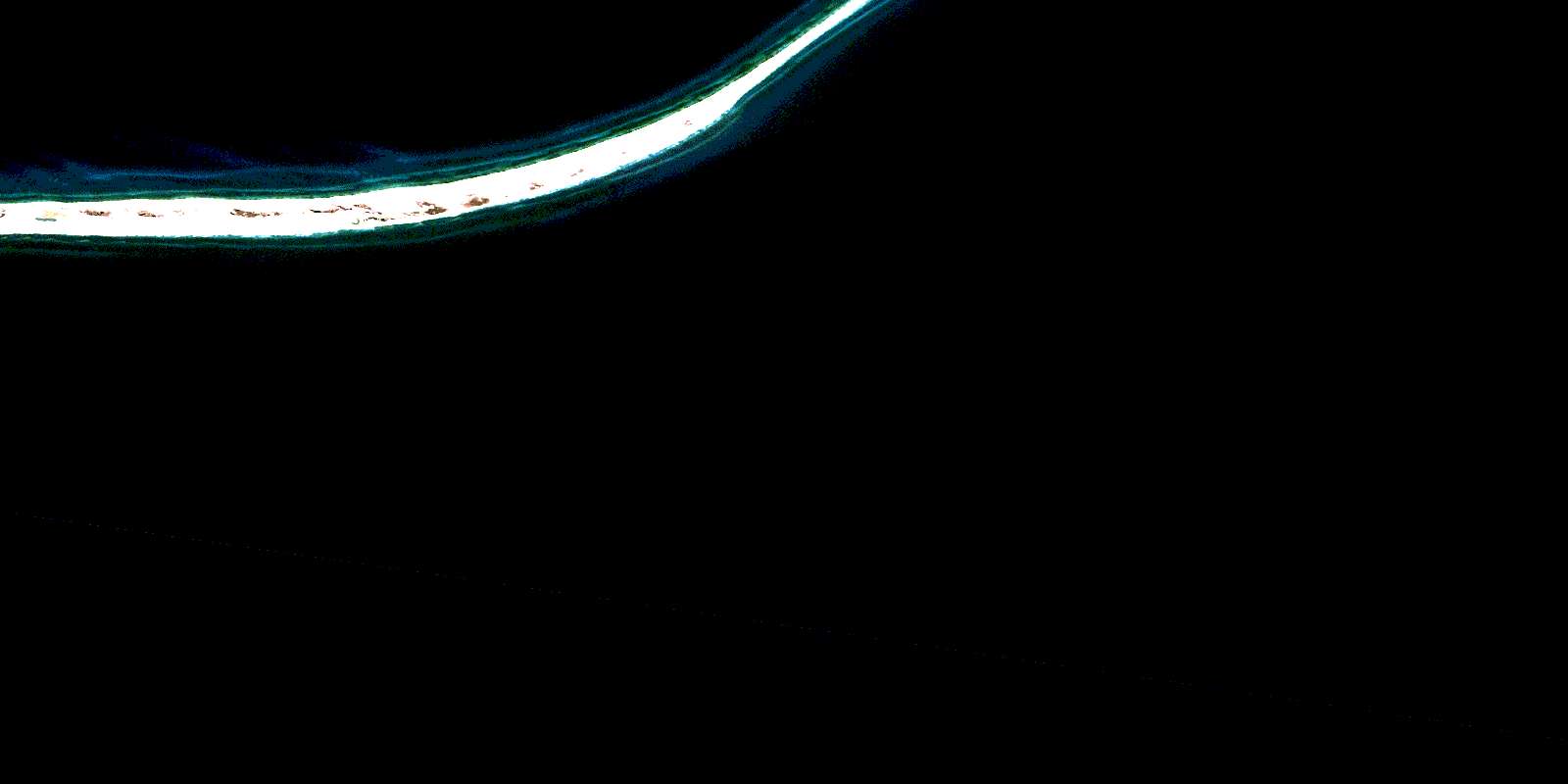
Sable Island Satellite Imagery
To view this satellite map, mouse over the air photo on the right.
You can also download this satellite image map for free:
010O13 Sable Island high-resolution satellite image map.
Maps for the Sable Island aerial map sheet 010O13 at 1:50,000 scale are also available in these versions:
Sable Island Surrounding Area Aerial Photo Maps
 |
|||
© Department of Natural Resources Canada. All rights reserved.
Sable Island Gazetteer
The following places can be found on satellite image map 010O13 Sable Island:
Sable Island Satellite Image: Capes
East PointEast Spit
Sable Island Satellite Image: Islands
Île de SableSable Island
Sable Island Satellite Image: Lakes
Lake WallaceSable Island Satellite Image: Conservation areas
Refuge d'oiseaux de l'Île-de-SableRefuge d'oiseaux migrateurs de l'Île-de-Sable
Sable Island Bird Sanctuary
Sable Island Migratory Bird Sanctuary
© Department of Natural Resources Canada. All rights reserved.
