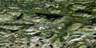
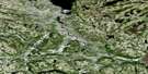
Davis Inlet Satellite Image Map
Download Free Aerial Photo 013N15 at 1:50,000 scale
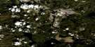
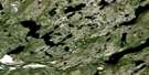
Davis Inlet Satellite Imagery
To view this satellite map, mouse over the air photo on the right.
You can also download this satellite image map for free:
013N15 Davis Inlet high-resolution satellite image map.
Maps for the Davis Inlet aerial map sheet 013N15 at 1:50,000 scale are also available in these versions:
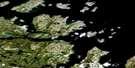
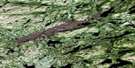
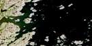
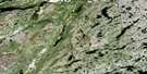
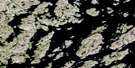
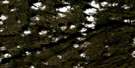
Davis Inlet Surrounding Area Aerial Photo Maps
 |
 |
 |
 |
 |
 |
 |
 |
 |
 |
 |
 |
 |
 |
 |
 |
© Department of Natural Resources Canada. All rights reserved.
Davis Inlet Gazetteer
The following places can be found on satellite image map 013N15 Davis Inlet:
Davis Inlet Satellite Image: Bays
Big BayFlowers Bay
Newfoundland Harbour
Davis Inlet Satellite Image: Capes
North Tikigakjuk (Narrow) PointSmooth Land Point
Davis Inlet Satellite Image: Channels
Davis InletDavis Inlet Satellite Image: Islands
Akpalik (Tinker) IslandAyagatot Island
Entry Island
Flat Island
Freestone Islands
Iluikoyak Island
Kasungatak Island
Katauyak Island
Kutallik (Massacre) Island
Pigeon Island
Red Island
Sioralik Island
Solomon Islands
Ukasiksalik Island
Davis Inlet Satellite Image: Mountains
Merrifield MountainPost Hill
Davis Inlet Satellite Image: Rapids
The RattleDavis Inlet Satellite Image: Seas
Labrador SeaMer du Labrador
Davis Inlet Satellite Image: Shoals
Duck RockMountaineer Rock (Adlauyavik)
Red Island Rock
The Bar
Davis Inlet Satellite Image: Unincorporated areas
Davis Inlet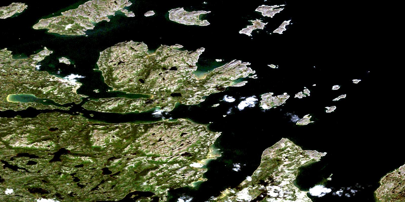
© Department of Natural Resources Canada. All rights reserved.
013N Related Maps:
013N Hopedale013N01E Kanairiktok Bay
013N01W Kanairiktok Bay
013N02 Ugjoktok Bay
013N03 Shapio Lake
013N04 Harp Lake
013N05 No Title
013N06 No Title
013N07 No Title
013N08E Hopedale
013N08W Hopedale
013N09 Napatalik Island
013N10 Big Bay
013N11 No Title
013N12 No Title
013N13 No Title
013N14 Sango Bay
013N15 Davis Inlet
013N16 Nunaksaluk Island
