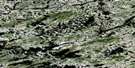
La Grande Ile Satellite Image Map
Download Free Aerial Photo 023E03 at 1:50,000 scale
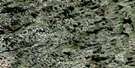
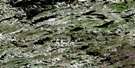
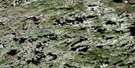
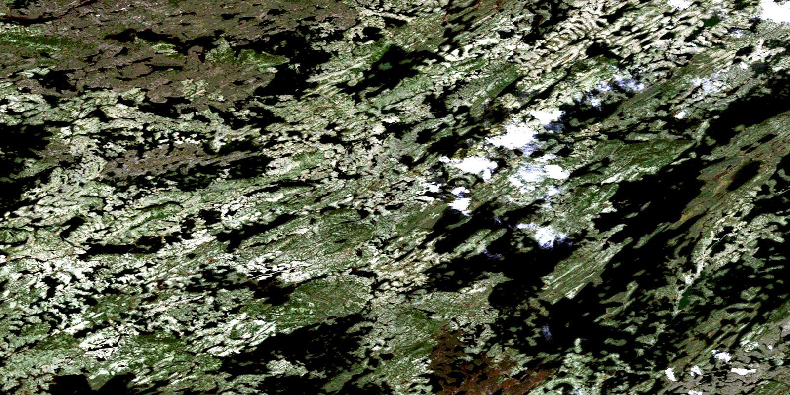
La Grande Ile Satellite Imagery
To view this satellite map, mouse over the air photo on the right.
You can also download this satellite image map for free:
023E03 La Grande Ile high-resolution satellite image map.
Maps for the La Grande Ile aerial map sheet 023E03 at 1:50,000 scale are also available in these versions:
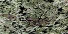
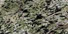
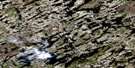
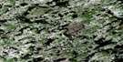
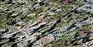
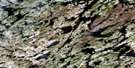
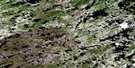
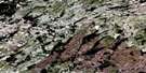
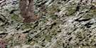
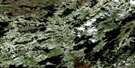
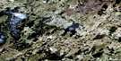
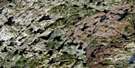
La Grande Ile Surrounding Area Aerial Photo Maps
 |
 |
 |
 |
 |
 |
 |
 |
 |
 |
 |
 |
 |
 |
 |
 |
© Department of Natural Resources Canada. All rights reserved.
La Grande Ile Gazetteer
The following places can be found on satellite image map 023E03 La Grande Ile:
La Grande Ile Satellite Image: Islands
La Grande ÎleLa Grande Ile Satellite Image: Lakes
Lac BoisbriandLac Nichicun
Petit lac Nichicun
© Department of Natural Resources Canada. All rights reserved.
023E Related Maps:
023E Nitchequon023E01 Lac Dumesnil
023E02 Nitchequon
023E03 La Grande Ile
023E04 Lac Joubert
023E05 Lac Dalmas
023E06 Lac Agramonte
023E07 Lac Taffanel
023E08 Lac Montbrillant
023E09 Lac Rambau
023E10 Lac Square Rock
023E11 Lac De Lionne
023E12 Lac Laribosiere
023E13 Lac Alayrac
023E14 Lac Bordier
023E15 Lac Chambure
023E16 Lac Montviel
