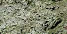
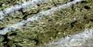
Lac Riopel Satellite Image Map
Download Free Aerial Photo 023N10 at 1:50,000 scale
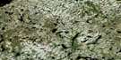
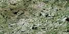
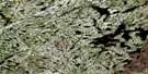
Lac Riopel Satellite Imagery
To view this satellite map, mouse over the air photo on the right.
You can also download this satellite image map for free:
023N10 Lac Riopel high-resolution satellite image map.
Maps for the Lac Riopel aerial map sheet 023N10 at 1:50,000 scale are also available in these versions:
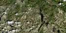
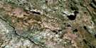
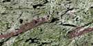
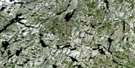
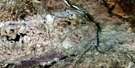
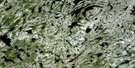
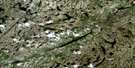
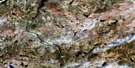
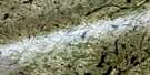
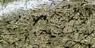
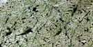
Lac Riopel Surrounding Area Aerial Photo Maps
 |
 |
 |
 |
 |
 |
 |
 |
 |
 |
 |
 |
 |
 |
 |
 |
© Department of Natural Resources Canada. All rights reserved.
Lac Riopel Gazetteer
The following places can be found on satellite image map 023N10 Lac Riopel:
Lac Riopel Satellite Image: Lakes
Lac Atikamakw KuskakanLac Doreen
Lac Foxtrot
Lac Hume
Lac Riopel
Lac Roger
Lac Yankee
Lac Zoulou
Lac Riopel Satellite Image: Rivers
Rivière Sérigny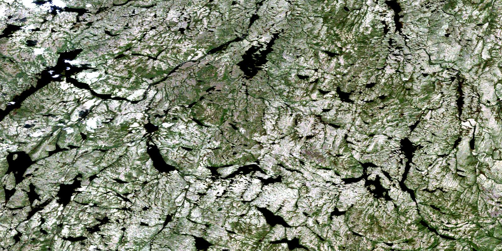
© Department of Natural Resources Canada. All rights reserved.
023N Related Maps:
023N Riviere Serigny023N01 Lac Weeks
023N02 Lac Kerverso
023N03 Lac Bazire
023N04 Lac Tassigny
023N05 Lac Serigny
023N06 Lac Lippe
023N07 Lac Lachaine
023N08 Lac Fontisson
023N09 Canyon Eaton
023N10 Lac Riopel
023N11 Lac Chartre
023N12 Lac Lefrancois
023N13 Lac Chalet
023N14 Lac Baril
023N15 Riviere Serigny
023N16 Chute Au Granite
