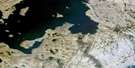
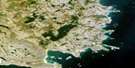
Eider Islands Satellite Image Map
Download Free Aerial Photo 025C14 at 1:50,000 scale
Eider Islands Satellite Imagery
To view this satellite map, mouse over the air photo on the right.
You can also download this satellite image map for free:
025C14 Eider Islands high-resolution satellite image map.
Maps for the Eider Islands aerial map sheet 025C14 at 1:50,000 scale are also available in these versions:
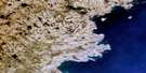
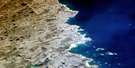
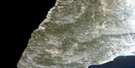
Eider Islands Surrounding Area Aerial Photo Maps
 |
 |
||
 |
 |
||
 |
 |
||
 |
 |
© Department of Natural Resources Canada. All rights reserved.
Eider Islands Gazetteer
The following places can be found on satellite image map 025C14 Eider Islands:
Eider Islands Satellite Image: Bays
Baie InussuulaatMouillage Kisarvik
Eider Islands Satellite Image: Miscellaneous campsites
Camp ImilikCamp Imilimmiut
Camps Aupaluttumiut
Camps Inussuulaarmiut
Eider Islands Satellite Image: Capes
Pointe AupaluttuqPointe Imiliup Akillinga
Pointe Inussulik
Pointe Inussuulaat
Pointe Tuapait
Eider Islands Satellite Image: Islands
Eider IslandsEider Islands Satellite Image: Lakes
Lac AupaluttuuqLac Ilummuuliup
Lac Inussuulaap
Lac Tininnirujaq
Lacs Atanirtuuq
Lacs Aupaluttuup
Eider Islands Satellite Image: Mountains
Butte QinnuajuartalikColline Nasivvik
Colline Qarqaaluk
Eider Islands Satellite Image: Rivers
Rivière QinnuajuartalikEider Islands Satellite Image: Valleys
Vallon Tininnirujaq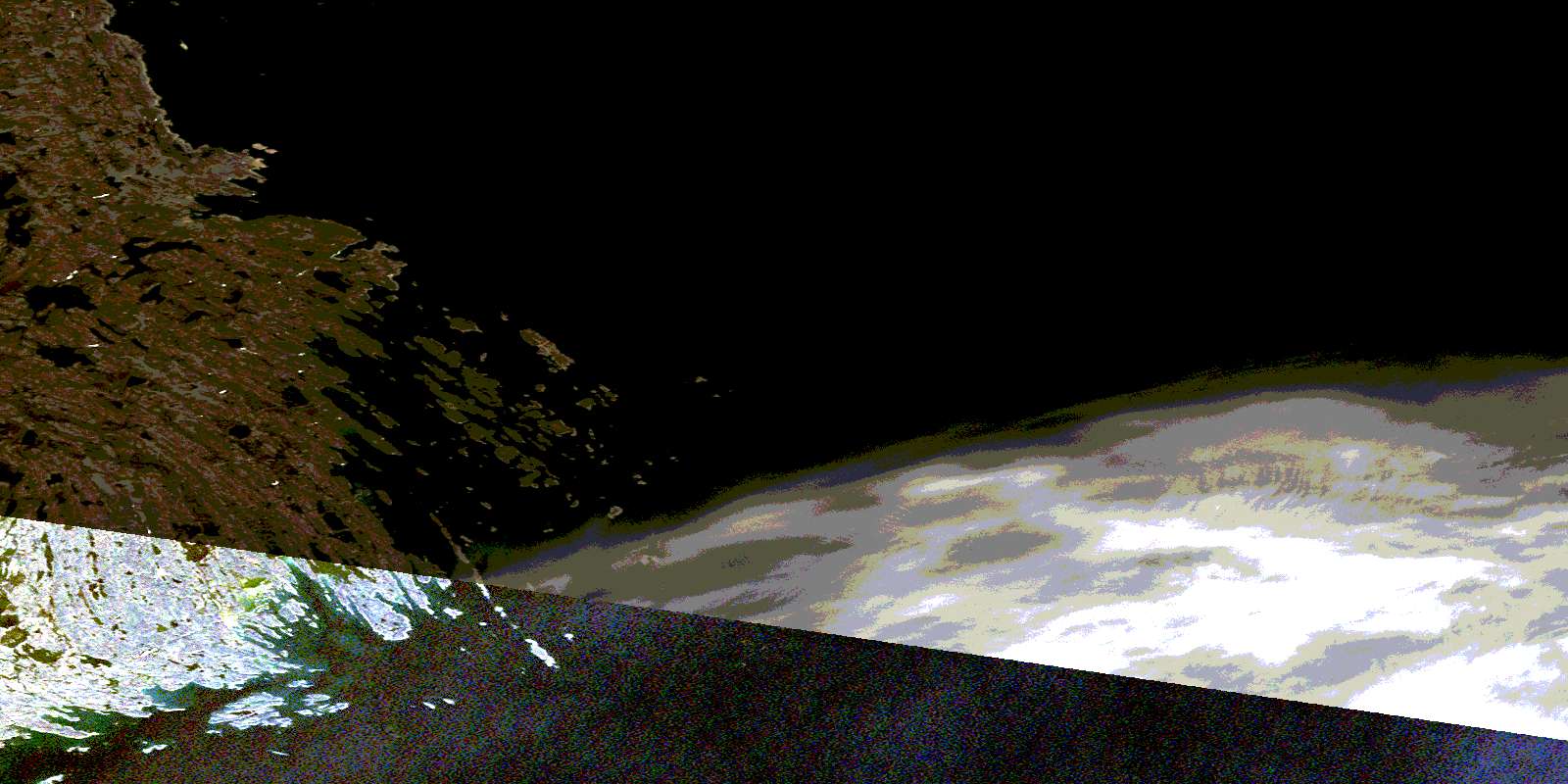
© Department of Natural Resources Canada. All rights reserved.
