Cornelia Channel Satellite Image Map
Download Free Aerial Photo 025O12 at 1:50,000 scale
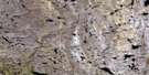
Cornelia Channel Satellite Imagery
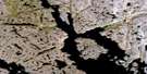
To view this satellite map, mouse over the air photo on the right.
You can also download this satellite image map for free:
025O12 Cornelia Channel high-resolution satellite image map.
Maps for the Cornelia Channel aerial map sheet 025O12 at 1:50,000 scale are also available in these versions:
Cornelia Channel Surrounding Area Aerial Photo Maps
 |
|||
 |
|||
© Department of Natural Resources Canada. All rights reserved.
Cornelia Channel Gazetteer
The following places can be found on satellite image map 025O12 Cornelia Channel:
Cornelia Channel Satellite Image: Bays
Cantley BayWard Inlet
Wayne Bay
Cornelia Channel Satellite Image: Capes
Becher PeninsulaEdmund Point
Hall Peninsula
Cornelia Channel Satellite Image: Channels
Cornelia ChannelThe Narrows
Cornelia Channel Satellite Image: Islands
Augustus IslandFrobisher's Farthest
McBride Island
Old Squaw Islands
Cornelia Channel Satellite Image: Marine navigation features
Anna Maria PortCornelia Channel Satellite Image: Mountains
Churchill's Thumb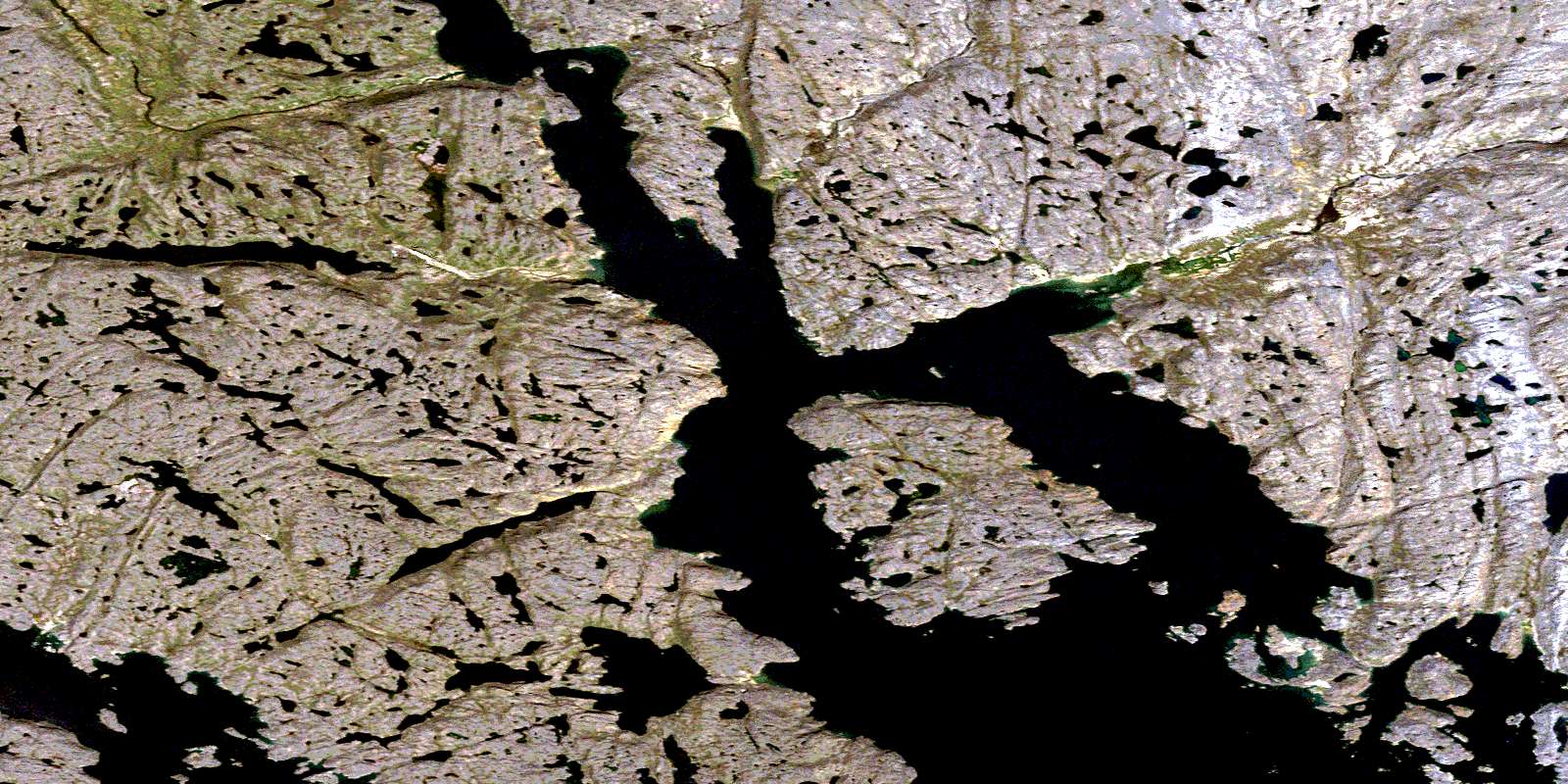
© Department of Natural Resources Canada. All rights reserved.
