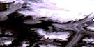
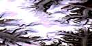
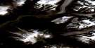
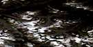
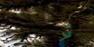
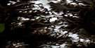
Overlord Peak Satellite Image Map
Download Free Aerial Photo 026I06 at 1:50,000 scale
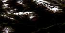
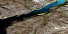
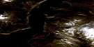
Overlord Peak Satellite Imagery
To view this satellite map, mouse over the air photo on the right.
You can also download this satellite image map for free:
026I06 Overlord Peak high-resolution satellite image map.
Maps for the Overlord Peak aerial map sheet 026I06 at 1:50,000 scale are also available in these versions:
Overlord Peak Surrounding Area Aerial Photo Maps
 |
 |
 |
 |
 |
 |
 |
 |
 |
 |
 |
|
 |
 |
 |
© Department of Natural Resources Canada. All rights reserved.
Overlord Peak Gazetteer
The following places can be found on satellite image map 026I06 Overlord Peak:
Overlord Peak Satellite Image: Bays
Aulatsivikjuak BayPangnirtung Fiord
Overlord Peak Satellite Image: Capes
Aulatsivikjuak PointOverlord Peak Satellite Image: Glaciers
Bears Paw GlacierFork Beard Glacier
Gateway Glacier
Niflheim Glacier
Overlord Peak Satellite Image: Mountains
Gauntlet PeakOverlord Peak
Qajaq Peak
Qilalugaq Mountain
Sandcastle Peak
Spartan Peak
Takuniakvik Peak
Tete des Cirques
The Guardians
Tikeq Peak
Tirokwa Peak
Turnweather Peak
Ulu Peak
Overlord Peak Satellite Image: Conservation areas
Auyuittuq National Park of CanadaParc national du Canada Auyuittuq
Overlord Peak Satellite Image: Rivers
Puurusiq RiverWeasel River
Overlord Peak Satellite Image: Valleys
Puurusiq Valley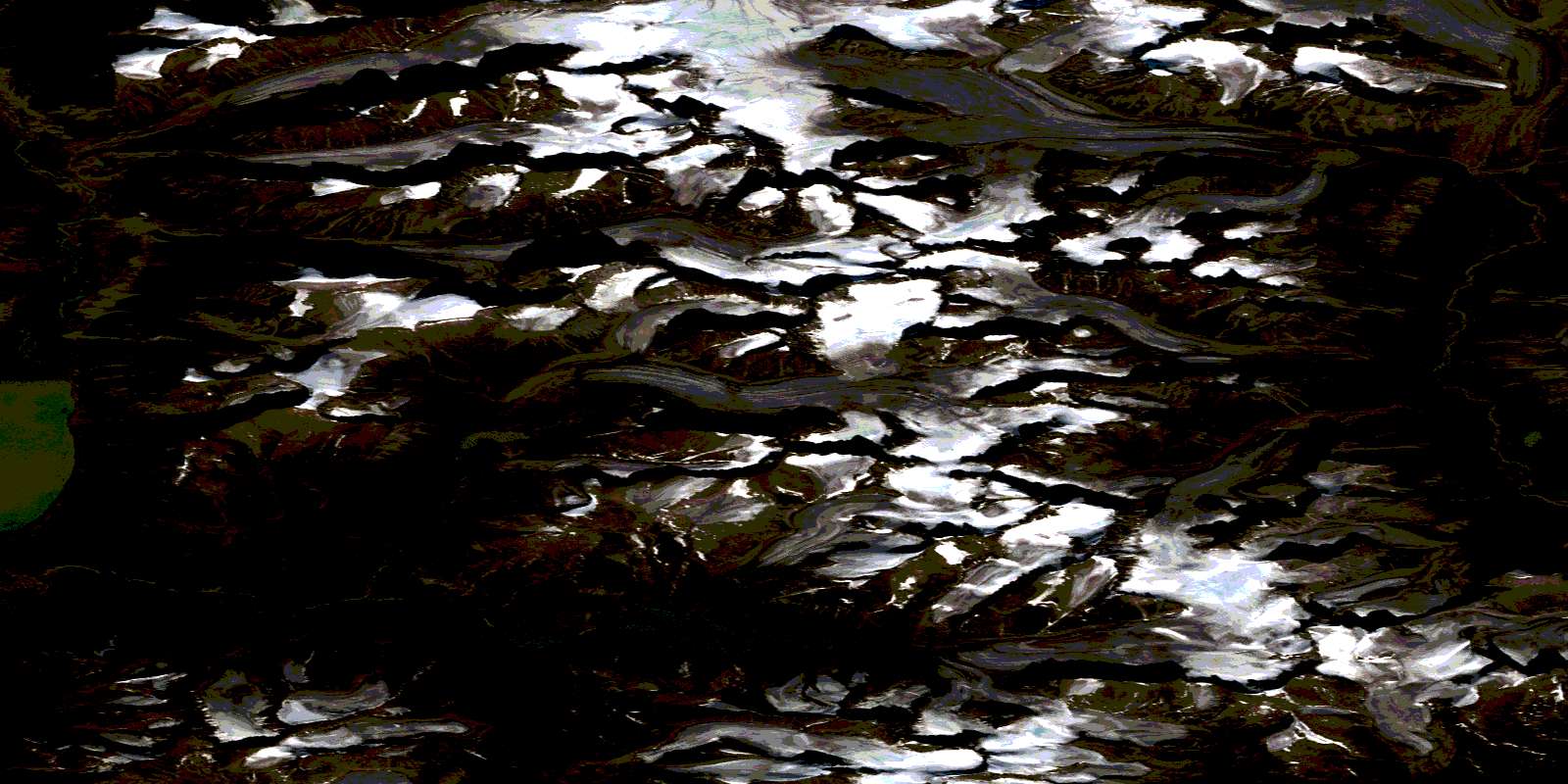
© Department of Natural Resources Canada. All rights reserved.
026I Related Maps:
026I Pangnirtung026I02 Kingnait Fiord
026I03 Kingnait Harbour
026I04 Pangnirtung
026I05 Moon Peak
026I06 Overlord Peak
026I07 No Title
026I09 Circle Lake
026I10 Mount Fleming
026I11 Mount Asgard
026I12 Qijuttaaqanngittuq Valley
026I13 No Title
026I14 Tete Blanche
026I15 No Title
026I16 Avalikong Lake
