Clyde River Satellite Image Map
Download Free Aerial Photo 027F08 at 1:50,000 scale
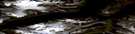
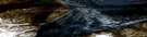
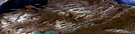
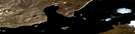
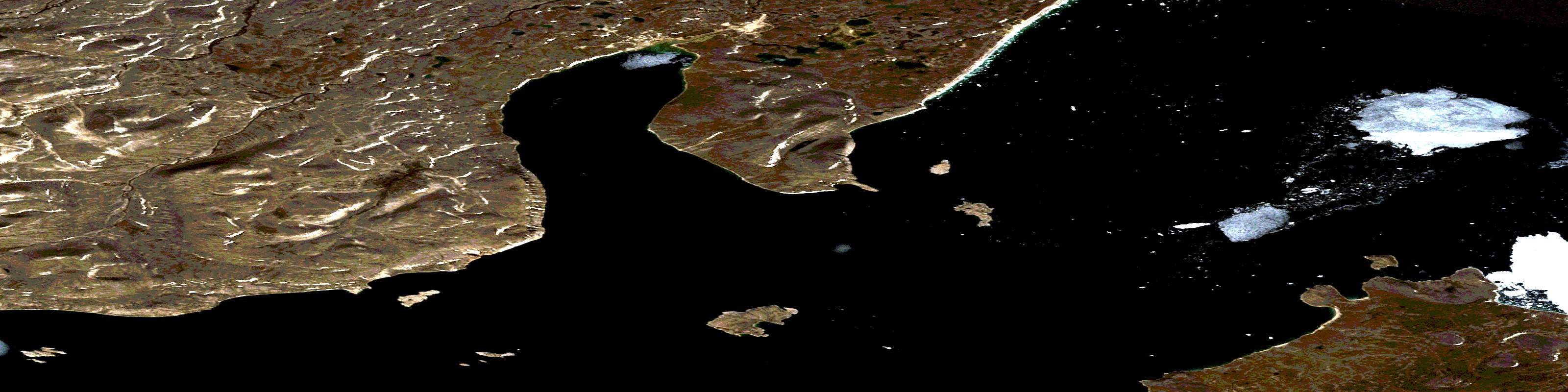
Clyde River Satellite Imagery
To view this satellite map, mouse over the air photo on the right.
You can also download this satellite image map for free:
027F08 Clyde River high-resolution satellite image map.
Maps for the Clyde River aerial map sheet 027F08 at 1:50,000 scale are also available in these versions:
Clyde River Surrounding Area Aerial Photo Maps
 |
 |
||
 |
 |
||
 |
 |
||
© Department of Natural Resources Canada. All rights reserved.
Clyde River Gazetteer
The following places can be found on satellite image map 027F08 Clyde River:
Clyde River Satellite Image: Bays
Baffin BayBaie de Baffin
Clyde Inlet
Patricia Bay
Clyde River Satellite Image: Beaches
Blackout BeachClyde River Satellite Image: Capes
Govan PointHalliday Point
Kintyre Point
Clyde River Satellite Image: Hamlets
ClydeClyde River
Clyde River Satellite Image: Islands
Ailsa IslandBurns Island
Bute Island
Casey Islands
Sanda Island
Steel Island
Clyde River Satellite Image: Mountains
Black BluffSawtooth Mountain
Sledge Pointers
© Department of Natural Resources Canada. All rights reserved.
