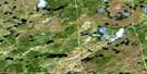
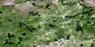
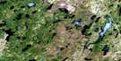
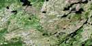
Lac Comencho Satellite Image Map
Download Free Aerial Photo 032J06 at 1:50,000 scale
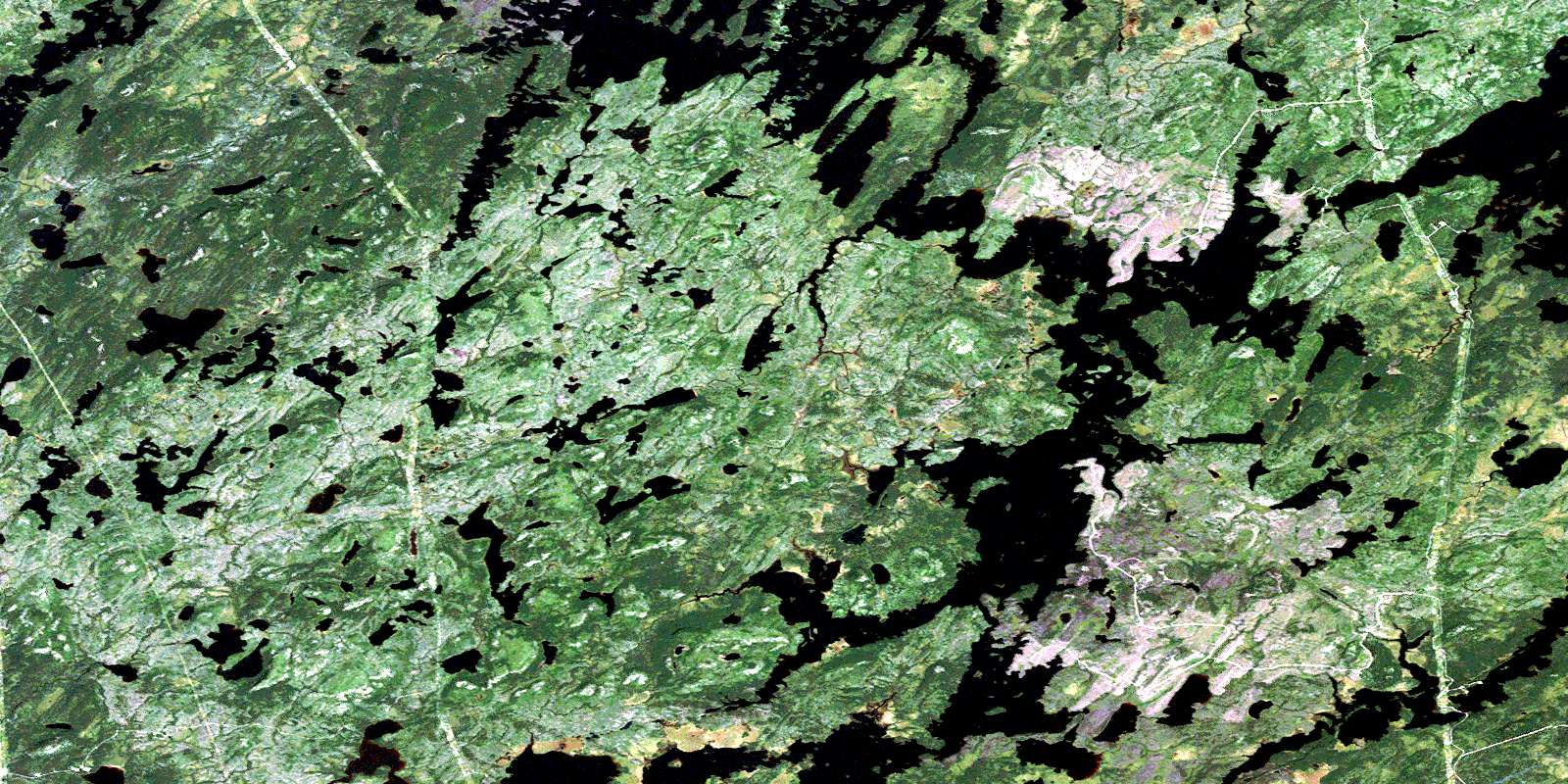
Lac Comencho Satellite Imagery
To view this satellite map, mouse over the air photo on the right.
You can also download this satellite image map for free:
032J06 Lac Comencho high-resolution satellite image map.
Maps for the Lac Comencho aerial map sheet 032J06 at 1:50,000 scale are also available in these versions:
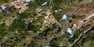
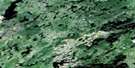
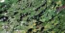
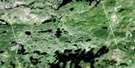
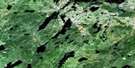
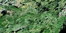
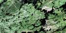
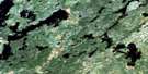
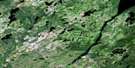
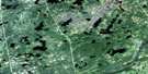
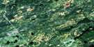
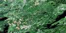
Lac Comencho Surrounding Area Aerial Photo Maps
 |
 |
 |
 |
 |
 |
 |
 |
 |
 |
 |
 |
 |
 |
 |
 |
© Department of Natural Resources Canada. All rights reserved.
Lac Comencho Gazetteer
The following places can be found on satellite image map 032J06 Lac Comencho:
Lac Comencho Satellite Image: Geographical areas
LevilliersLivillier
Lucière
Turgis
Lac Comencho Satellite Image: Lakes
Lac AssinicaLac Cachisca
Lac Capacwachipsca
Lac Caplan
Lac Comencho
Lac Comenscamoca
Lac des Trois Îles
Lac La Chevalière
Lac La Chevardière
Lac Mesgouez
Lac One
Lac Opataca
Lac Waposite
Lac Wasawapositeo
Lac Comencho Satellite Image: Mountains
Colline LookoutLac Comencho Satellite Image: Conservation areas
Réserve faunique AssinicaLac Comencho Satellite Image: Rivers
Rivière OmoRuisseau Naomi
© Department of Natural Resources Canada. All rights reserved.
032J Related Maps:
032J Lac Assinica032J01 Lac Waconichi
032J02 Lac Claire
032J03 Lac A L'Eau Noire
032J04 Lac Omo
032J05 Lac Capichigamau
032J06 Lac Comencho
032J07 Lac Opataca
032J08 Baie Penicouane
032J09 Lac Armagnac
032J10 Lac Regnault
032J11 Lac Assinica
032J12 Ruisseau Lucky Strike
032J13 Lac Ginguet
032J14 Riviere Coigne
032J15 Lac Troilus
032J16 Lac Bueil
