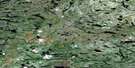
Lac Dullos Satellite Image Map
Download Free Aerial Photo 033B13 at 1:50,000 scale
Lac Dullos Satellite Imagery
To view this satellite map, mouse over the air photo on the right.
You can also download this satellite image map for free:
033B13 Lac Dullos high-resolution satellite image map.
Maps for the Lac Dullos aerial map sheet 033B13 at 1:50,000 scale are also available in these versions:
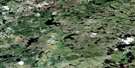
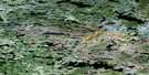
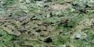
Lac Dullos Surrounding Area Aerial Photo Maps
 |
 |
 |
 |
 |
 |
 |
 |
 |
 |
 |
 |
 |
 |
 |
 |
© Department of Natural Resources Canada. All rights reserved.
Lac Dullos Gazetteer
The following places can be found on satellite image map 033B13 Lac Dullos:
Lac Dullos Satellite Image: Lakes
Lac AkukameskasichLac Dullos
Lac Kapichisakas
Lac Kaupitatin
Lac Kawayasakamikaw
Lac Mischinusaw
Lac Mistamapis
Lac Wapisu Pachistwakan
Lac Wayapitakach
Réservoir Opinaca
Lac Dullos Satellite Image: Mountains
Colline WapiyikusLac Dullos Satellite Image: Rivers
Rivière GiardRivière Kapichisakasistikw
Rivière Kawasayakamikastikw
Rivière Menouow
Rivière Opinaca
Lac Dullos Satellite Image: River features
Confluent Pachistiwakanusich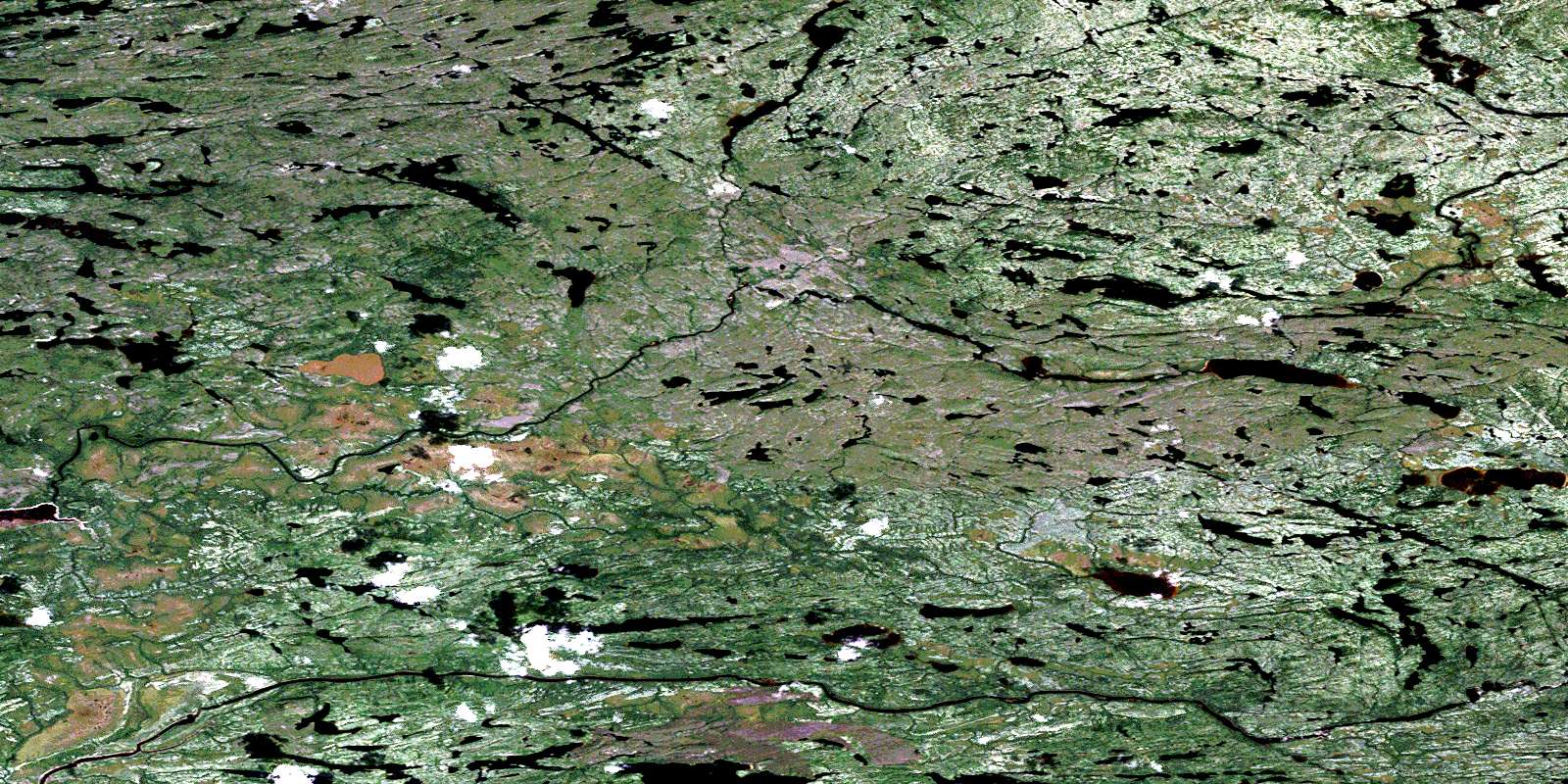
© Department of Natural Resources Canada. All rights reserved.
033B Related Maps:
033B Lac Lichteneger033B01 Lac Dumanoir
033B02 Gorge Prosper
033B03 Lacs Village
033B04 Lac Natel
033B05 Lac Le Caron
033B06 Lac Baupaume
033B07 Lac Conviac
033B08 Lac Bardin
033B09 Lac Senarmont
033B10 Lac Desdames
033B11 Lac Cadet
033B12 Lac Gladman
033B13 Lac Dullos
033B14 Lac Juilly
033B15 Lac Miramon
033B16 Lac Philibert
