Freakly Point Satellite Image Map
Download Free Aerial Photo 033M13 at 1:50,000 scale
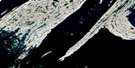
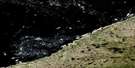
Freakly Point Satellite Imagery
To view this satellite map, mouse over the air photo on the right.
You can also download this satellite image map for free:
033M13 Freakly Point high-resolution satellite image map.
Maps for the Freakly Point aerial map sheet 033M13 at 1:50,000 scale are also available in these versions:
Freakly Point Surrounding Area Aerial Photo Maps
 |
 |
||
 |
|||
 |
© Department of Natural Resources Canada. All rights reserved.
Freakly Point Gazetteer
The following places can be found on satellite image map 033M13 Freakly Point:
Freakly Point Satellite Image: Bays
Hudson BayRobertson Bay
West Arm
Freakly Point Satellite Image: Capes
Freakly PointFreakly Point Satellite Image: Channels
Churchill SoundFreakly Point Satellite Image: Islands
Belcher IslandsFlaherty Island
Freakly Point Satellite Image: Lakes
Kasegalik LakeFreakly Point Satellite Image: Rivers
Kasegalik River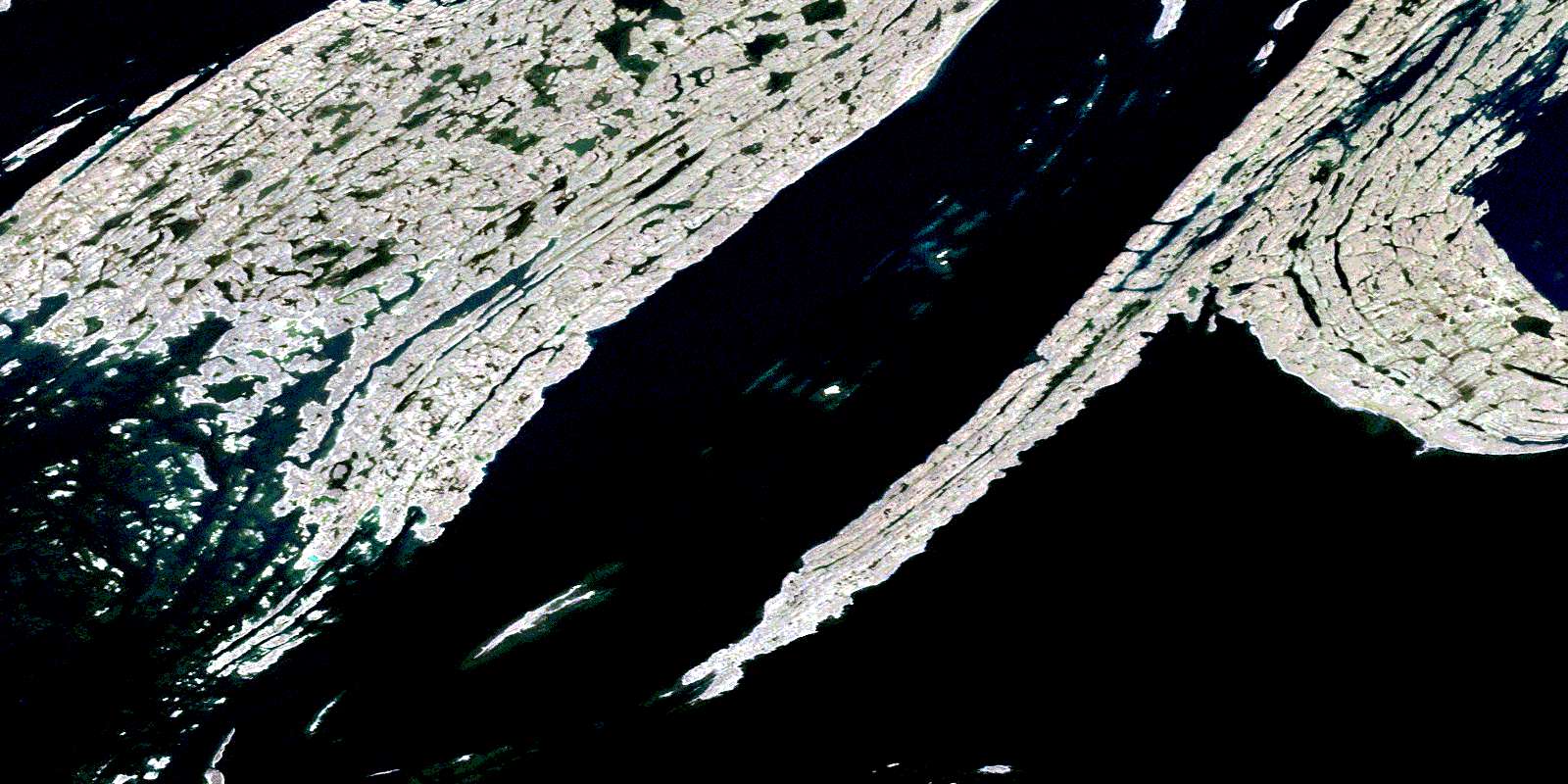
© Department of Natural Resources Canada. All rights reserved.
