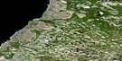
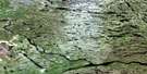
Lac Perotin Satellite Image Map
Download Free Aerial Photo 033N08 at 1:50,000 scale
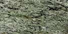
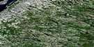
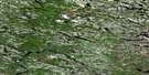
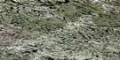
Lac Perotin Satellite Imagery
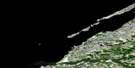
To view this satellite map, mouse over the air photo on the right.
You can also download this satellite image map for free:
033N08 Lac Perotin high-resolution satellite image map.
Maps for the Lac Perotin aerial map sheet 033N08 at 1:50,000 scale are also available in these versions:
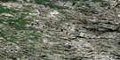
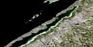
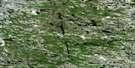
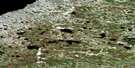
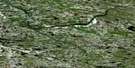
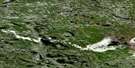
Lac Perotin Surrounding Area Aerial Photo Maps
 |
 |
 |
|
 |
 |
 |
|
 |
 |
 |
 |
 |
 |
 |
 |
© Department of Natural Resources Canada. All rights reserved.
Lac Perotin Gazetteer
The following places can be found on satellite image map 033N08 Lac Perotin:
Lac Perotin Satellite Image: Lakes
Lac KaychisakakamawLac Pérotin
Lac Uskachikupin
Lac Wapaskw
Lac Perotin Satellite Image: Rivers
Rivière Geoffroy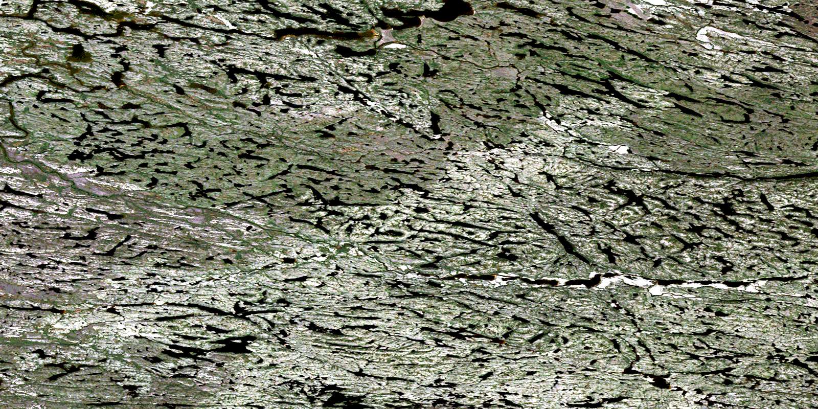
© Department of Natural Resources Canada. All rights reserved.
033N Related Maps:
033N Poste-De-La-Baleine033N01 Lac Mugnol
033N02E Lac Fagnant
033N02W Lac Fagnant
033N03E Lacs Adam
033N03W Lacs Adam
033N04E Lac Benoit
033N04W Lac Benoit
033N05 Kuujjuarapik
033N06E Lac Le Bel
033N06W Lac Le Bel
033N07E Lac Thibault
033N07W Lac Thibault
033N08 Lac Perotin
033N09 Lac De Gannes
033N10E Lac Robitaille
033N10W Lac Robitaille
033N11E Castle Island
033N11W Castle Island
033N14E Duck Island
033N15E Lac Desjardins
033N15W Lac Desjardins
033N16 Lac Tregnier
