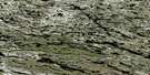
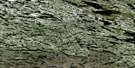
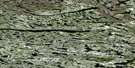
Lac Rafoy Satellite Image Map
Download Free Aerial Photo 033O08 at 1:50,000 scale
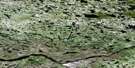
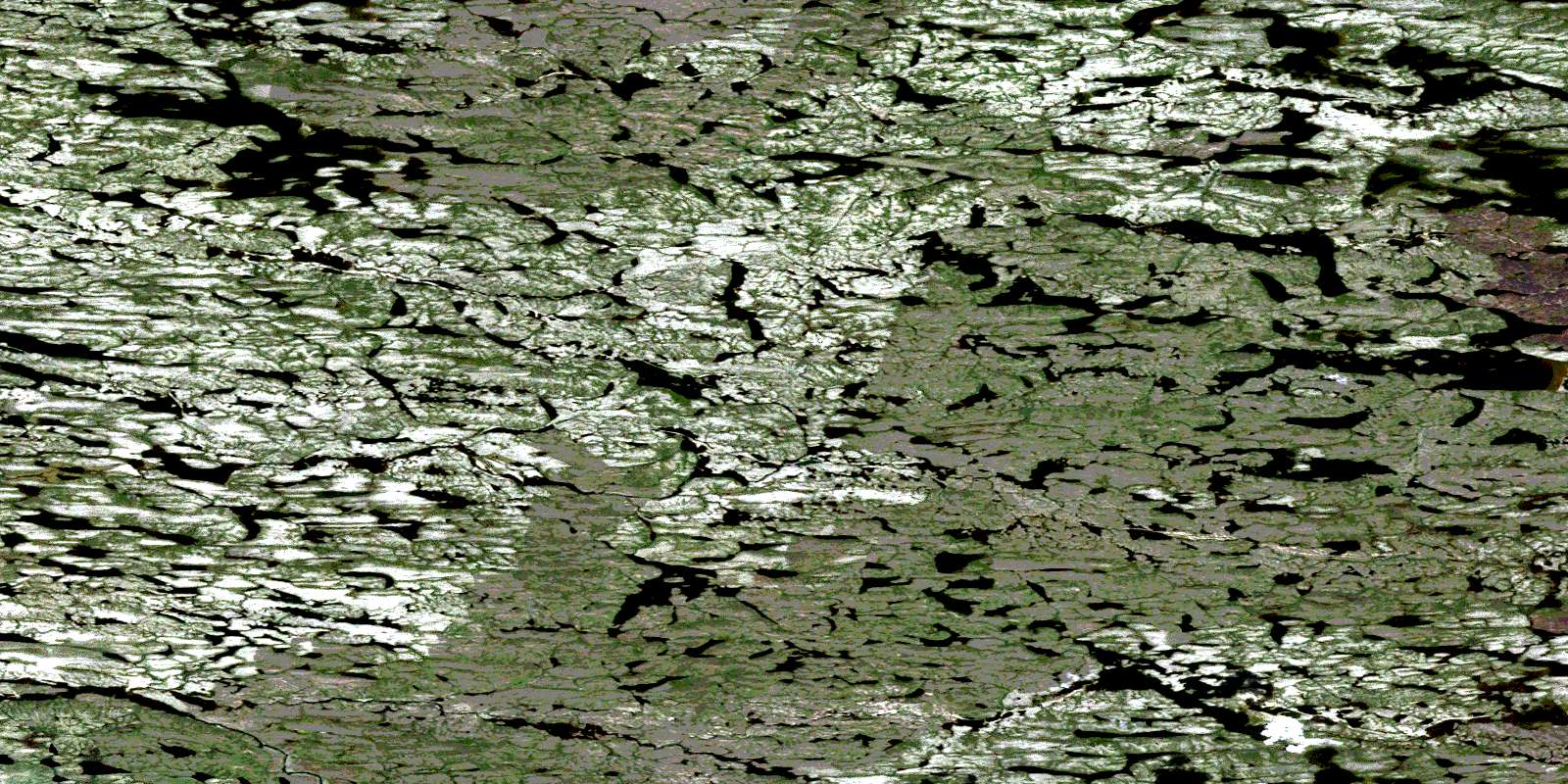
Lac Rafoy Satellite Imagery
To view this satellite map, mouse over the air photo on the right.
You can also download this satellite image map for free:
033O08 Lac Rafoy high-resolution satellite image map.
Maps for the Lac Rafoy aerial map sheet 033O08 at 1:50,000 scale are also available in these versions:
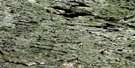
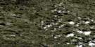
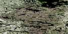
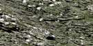
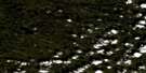
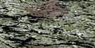
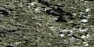
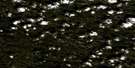
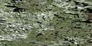
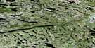
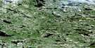
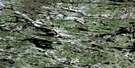
Lac Rafoy Surrounding Area Aerial Photo Maps
 |
 |
 |
 |
 |
 |
 |
 |
 |
 |
 |
 |
 |
 |
 |
 |
© Department of Natural Resources Canada. All rights reserved.
Lac Rafoy Gazetteer
The following places can be found on satellite image map 033O08 Lac Rafoy:
Lac Rafoy Satellite Image: Lakes
Lac AtikamakwLac Lenormand
Lac Rafoy
Lac Vaujours
Lacs Kawasikusu
© Department of Natural Resources Canada. All rights reserved.
033O Related Maps:
033O Lac Montrochand033O01 Lac Loiseau
033O02 Lac Taraton
033O03 Lac Liancourt
033O04 Lac Panis
033O05 Lac Doison
033O06 Lac Fressel
033O07 Rapides Salouer
033O08 Lac Rafoy
033O09 Lacs Mollet
033O10 Lac Malecot
033O11 Lac Derme
033O12 Lac Isabelle
033O13 Lac Hiriard
033O14 Lac Lamain
033O15 Lac Girardy
033O16 Lac Quereur
