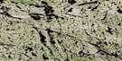
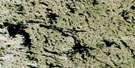
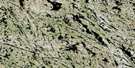
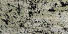
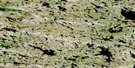
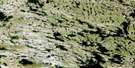
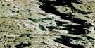
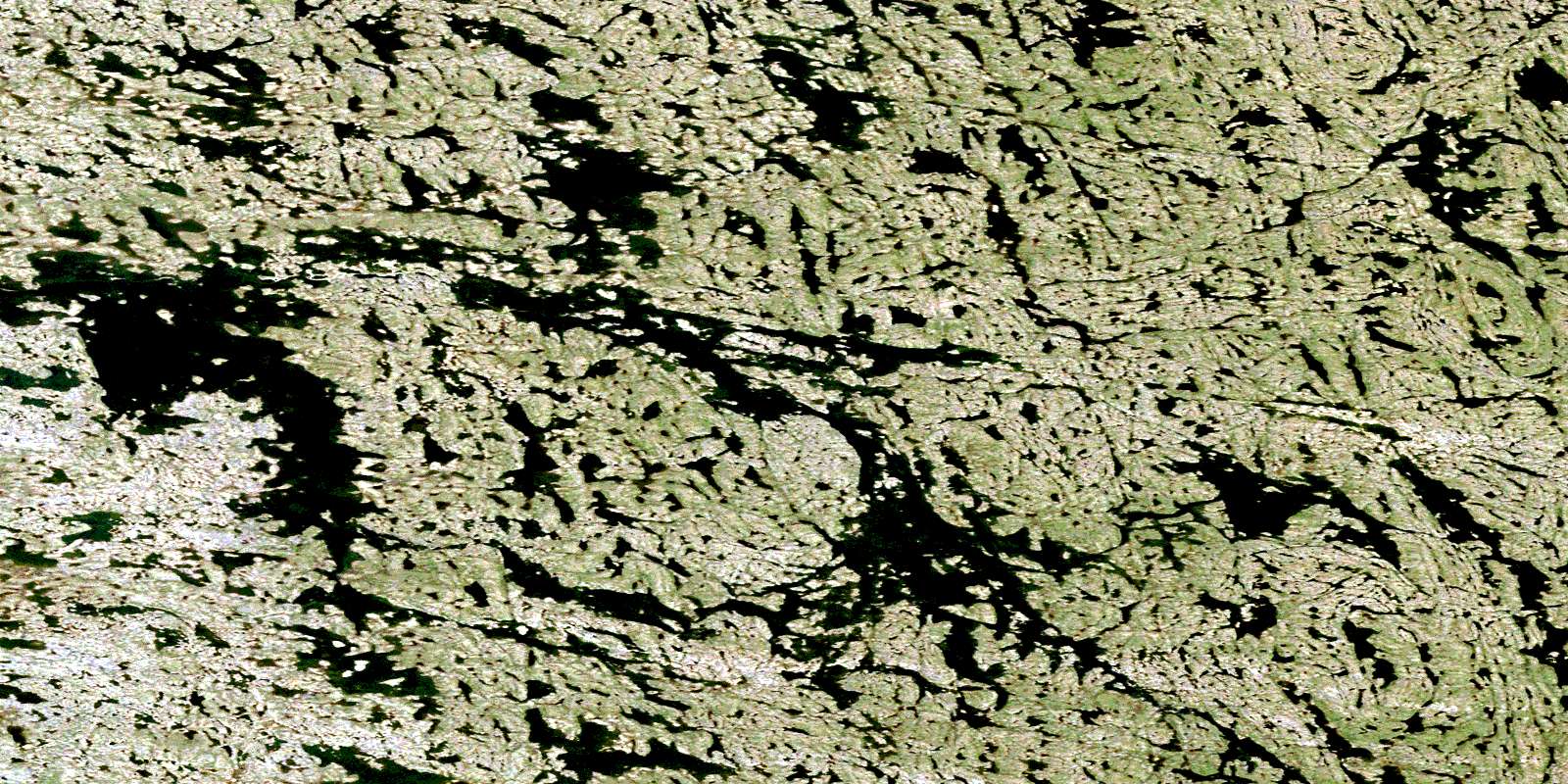
Lac Le Roy Satellite Image Map
Download Free Aerial Photo 034J11 at 1:50,000 scale
Lac Le Roy Satellite Imagery
To view this satellite map, mouse over the air photo on the right.
You can also download this satellite image map for free:
034J11 Lac Le Roy high-resolution satellite image map.
Maps for the Lac Le Roy aerial map sheet 034J11 at 1:50,000 scale are also available in these versions:
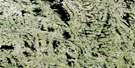
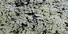
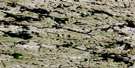
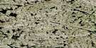
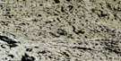
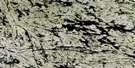
Lac Le Roy Surrounding Area Aerial Photo Maps
 |
 |
 |
 |
 |
 |
 |
 |
 |
 |
 |
 |
 |
 |
 |
 |
© Department of Natural Resources Canada. All rights reserved.
Lac Le Roy Gazetteer
The following places can be found on satellite image map 034J11 Lac Le Roy:
Lac Le Roy Satellite Image: Capes
Pointe Saali Najummialuup IsutsipaaqutingaLac Le Roy Satellite Image: Channels
Passe QuurngualukLac Le Roy Satellite Image: Lakes
Lac KapisilikallalikLac Le Roy
Lac Le Roy Satellite Image: Other municipal/district area - miscellaneous
Baie-d'HudsonLac Le Roy Satellite Image: Rivers
Rivière InnuksuacRivière Sanimuagialik
© Department of Natural Resources Canada. All rights reserved.
034J Related Maps:
034J Lac Vernon034J01 Lac Tininnirittuq
034J02 Lac Montrenault
034J03 Lac Chavigny
034J04 Lac Martinet
034J05 Lac Chatignon
034J06 Lac Farineau
034J07 Riviere Quutsuki
034J08 Lac Canade
034J09 Lac Lanoix
034J10 Lac Mecto
034J11 Lac Le Roy
034J12 Lac Daller
034J13 Lac Sanningajualuk
034J14 Lac Thiersant
034J15 Lac Tukimuattuq
034J16 Lac Vernon
