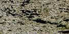
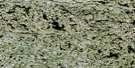
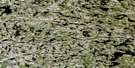
Lac Ujarsutjulik Satellite Image Map
Download Free Aerial Photo 034K01 at 1:50,000 scale
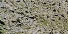
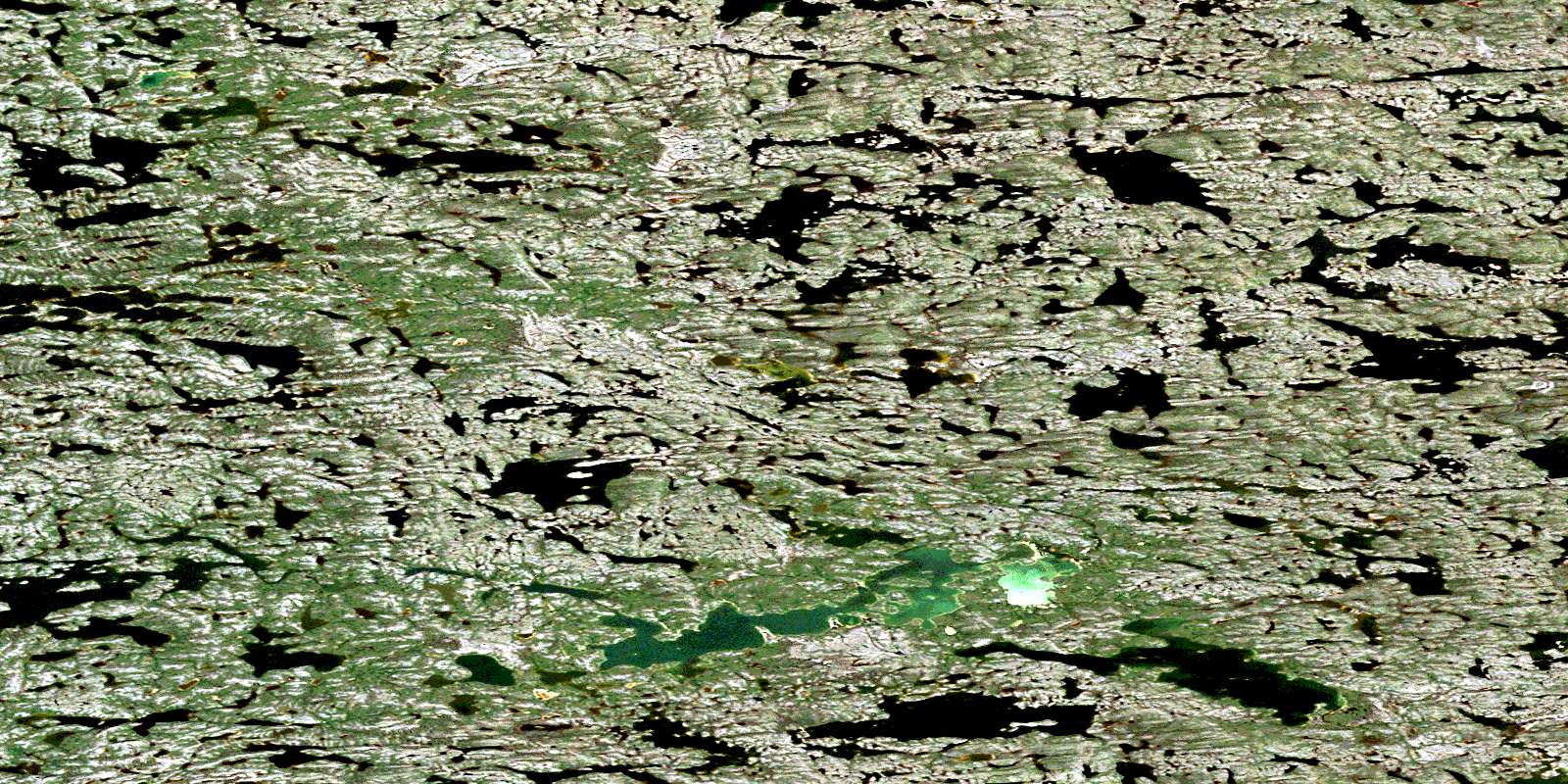
Lac Ujarsutjulik Satellite Imagery
To view this satellite map, mouse over the air photo on the right.
You can also download this satellite image map for free:
034K01 Lac Ujarsutjulik high-resolution satellite image map.
Maps for the Lac Ujarsutjulik aerial map sheet 034K01 at 1:50,000 scale are also available in these versions:
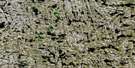
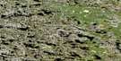
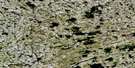
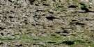
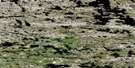
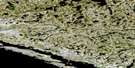
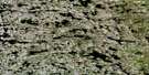
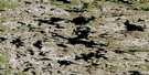
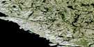
Lac Ujarsutjulik Surrounding Area Aerial Photo Maps
 |
 |
 |
 |
 |
 |
 |
 |
 |
 |
 |
 |
 |
 |
 |
 |
© Department of Natural Resources Canada. All rights reserved.
Lac Ujarsutjulik Gazetteer
The following places can be found on satellite image map 034K01 Lac Ujarsutjulik:
Lac Ujarsutjulik Satellite Image: Capes
Pointe UppialuttuvikLac Ujarsutjulik Satellite Image: Lakes
Lac IsurtualukLac Kapisililik
Lac Kapisiliqajuirutiq
Lac Qikirtaluup Tasinga
Lac Tasirruaraaluk
Lac Ujarasujjulik
Lac Ujarasutjulik
Lac Voizel
Lac Ujarsutjulik Satellite Image: Rivers
Rivière KikkertelucRivière Qikirtaluup Kuunga
© Department of Natural Resources Canada. All rights reserved.
034K Related Maps:
034K Riviere Innuksuac034K01 Lac Ujarsutjulik
034K02 Lac Gobillot
034K03 Lac Sanningajuq
034K04 Leonard Island
034K05 Riviere Boizard
034K06 Lac Sailasiup Tasinga
034K07 Lac Cheminade
034K08 Lac Tasirruaraaluk
034K09 Lac Muraalavik
034K10 Lac Igavavvik
034K11 Lac Juusiup Tasialua
034K12 L Pinguup Tasialunga
034K13 Lac Dutort
034K14 Lac Quinijulik
034K15 Lac Boulet
034K16 Lac Sailly
