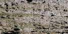
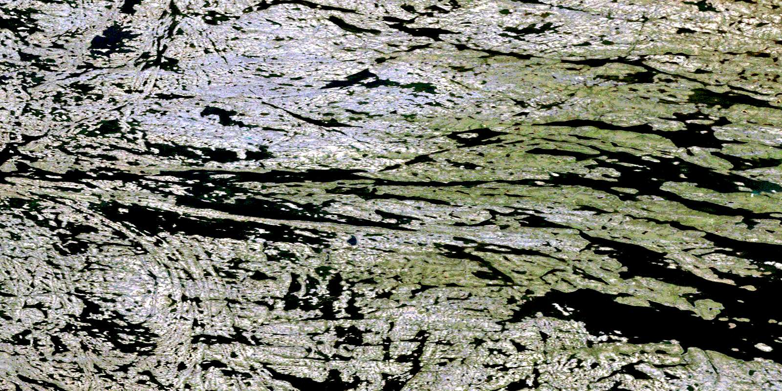
Lac Pavy Satellite Image Map
Download Free Aerial Photo 034O01 at 1:50,000 scale
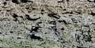
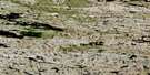
Lac Pavy Satellite Imagery
To view this satellite map, mouse over the air photo on the right.
You can also download this satellite image map for free:
034O01 Lac Pavy high-resolution satellite image map.
Maps for the Lac Pavy aerial map sheet 034O01 at 1:50,000 scale are also available in these versions:
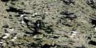
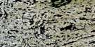
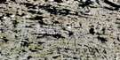
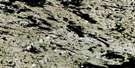
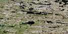
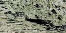
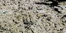
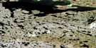
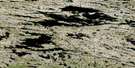
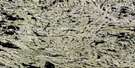
Lac Pavy Surrounding Area Aerial Photo Maps
 |
 |
 |
 |
 |
 |
 |
 |
 |
 |
 |
 |
 |
 |
 |
 |
© Department of Natural Resources Canada. All rights reserved.
Lac Pavy Gazetteer
The following places can be found on satellite image map 034O01 Lac Pavy:
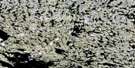
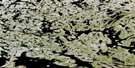
Lac Pavy Satellite Image: Lakes
Lac PavyLac Sanirvariaq
Lac Tassialouc
© Department of Natural Resources Canada. All rights reserved.
034O Related Maps:
034O Lac Anuc034O01 Lac Pavy
034O02 Lac Fergus
034O03 Lac Tasiat
034O04 Lac Poineau
034O05 Lac Alorutchaak
034O06 Lac Anuc
034O07 Lac Barvilier
034O08 Riviere Loubet
034O09 Lac Brunel
034O10 Lac Le Breuil
034O11 Lac Parry
034O12 Lac Mezard
034O13 Lac Stillwell
034O14 Lac Edelin
034O15
034O16 Lac Bertaut
