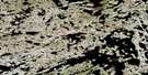
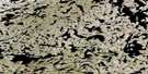
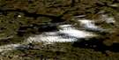
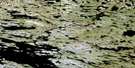
Lac Bachant Satellite Image Map
Download Free Aerial Photo 034P01 at 1:50,000 scale
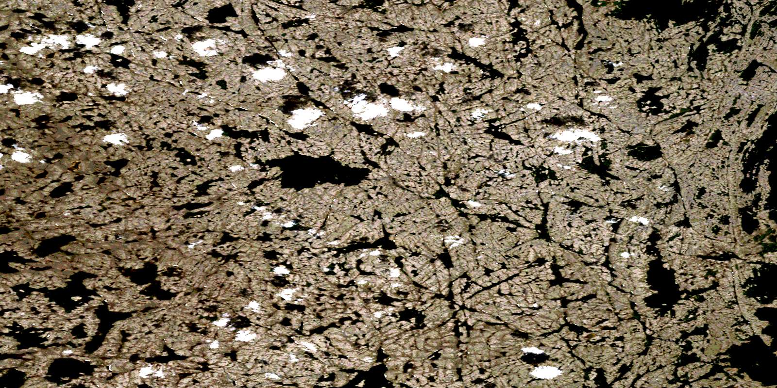
Lac Bachant Satellite Imagery
To view this satellite map, mouse over the air photo on the right.
You can also download this satellite image map for free:
034P01 Lac Bachant high-resolution satellite image map.
Maps for the Lac Bachant aerial map sheet 034P01 at 1:50,000 scale are also available in these versions:
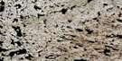
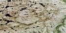
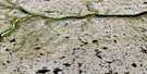
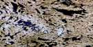
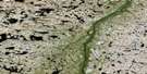
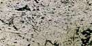
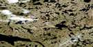
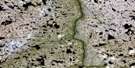
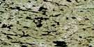
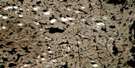
Lac Bachant Surrounding Area Aerial Photo Maps
 |
 |
 |
 |
 |
 |
 |
 |
 |
 |
 |
 |
 |
 |
 |
 |
© Department of Natural Resources Canada. All rights reserved.
Lac Bachant Gazetteer
The following places can be found on satellite image map 034P01 Lac Bachant:
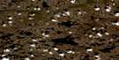
Lac Bachant Satellite Image: Lakes
Lac BachantLac Faribault
Lac Ungirq
© Department of Natural Resources Canada. All rights reserved.
034P Related Maps:
034P Lac Du Pelican034P01 Lac Bachant
034P02 Riviere Kugajaraluk
034P03 Lac Hemerit
034P04 Lac Gobinet
034P05 Lac Tunusuk
034P06 Baie Aariakallak
034P07 Rapide Sarvaq
034P08 Lac Ciaunaux
034P09 Lac Lancognee
034P10 Lac Bottequin
034P11 Lac Wesp
034P12 Lac Button
034P13 Lac Curodeau
034P14 Lac Itinnaq
034P15 Lac Rahin
034P16 Pointe Taassuq
